

Price and ratings
- Price
- Free
- Rating
- —
- Ratings
- 0Australia
Versions
- Released
- 7 May 20265 months ago
- Last update
- 1 month agoVersion 2.6.81
- Requires
- iOS 15.6 or later
Details
- Size
- 70.7 MB
- Languages
- 1
The Happy Prospector is an offline mapping app specifically built for prospectors in Western Australia. Designed for remote areas, the app lets you download maps and data before you go, then use essential mapping, GPS, tenement, find, track and reporting tools without mobile coverage or WiFi. Use The Happy Prospector to explore WA prospecting data, browse directly to GPS coordinates, save classified field markers, record tracks, draw polygons, measure distances and create reports from your…
Competitors
Full chartTop of Free · Navigation in Australia. Happy Prospector: Offline Maps isn't in it right now. Changes are over 7 days.
- #1 (number one)Change unknown
 Waze Navigation & Live TrafficWaze Inc.
 - #2Change unknown
 Google MapsGoogle
 - #3Change unknown
 BPmeBP Australia Pty Ltd
 - #4Change unknown
 Petrol Spy AustraliaAndrey Firsov
 - #5Change unknown
 AMap GlobalAutoNavi Information Technology Co. Ltd.
 - #6Change unknown
 Chargefox: EV Charging NetworkChargefox
 - #7Change unknown
 Evie ChargingEvie Networks
 - #8Change unknown
 AmpolAmpol Australia Petroleum Pty Ltd
 - #9Change unknown
 NAVER Maps, NavigationNAVER Corp.
 - #10Change unknown
 NSW FuelCheckDepartment of Customer Service
 - #11Change unknown
 PlugShare: Charging StationsRecargo, Inc.
 - #12Change unknown
 Radar GO-X : Navigation, MapMOR TOSBAA MOBIL COZUMLER ANONIM
 - #13Change unknown
 TransperthPublic Transport Authority
 - #14Change unknown
 EarthScope: GPS Map CameraEINMOB LIMITED
 - #15Change unknown
 Scan Pump Save AppON THE RUN PTY LTD
 - #16Change unknown
 NaviBridgeMICWARE CO.,LTD.
 - #17Change unknown
 bp pulseBP Australia Pty Ltd
 - #18Change unknown
 Secure ParkingSecure Parking Pty Ltd
 - #19Change unknown
 Transit • Subway & Bus TimesTransit App, Inc.
 - #20Change unknown
 Where is my Train - Live TrainSnehal Sangani
Store listing
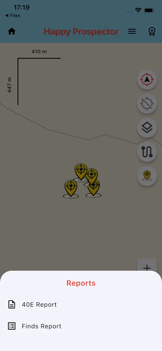
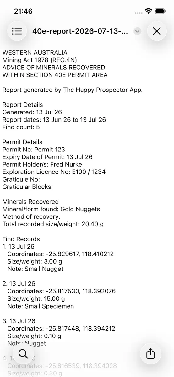
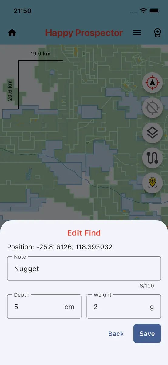
How the app presents itself on the App Store. Select a screenshot to open it full size.
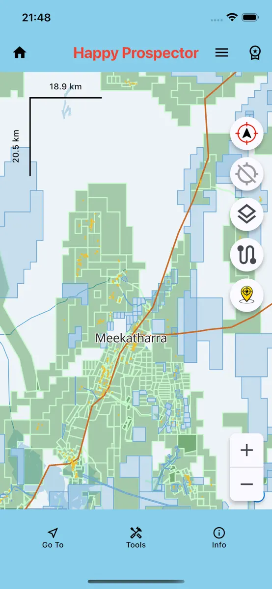
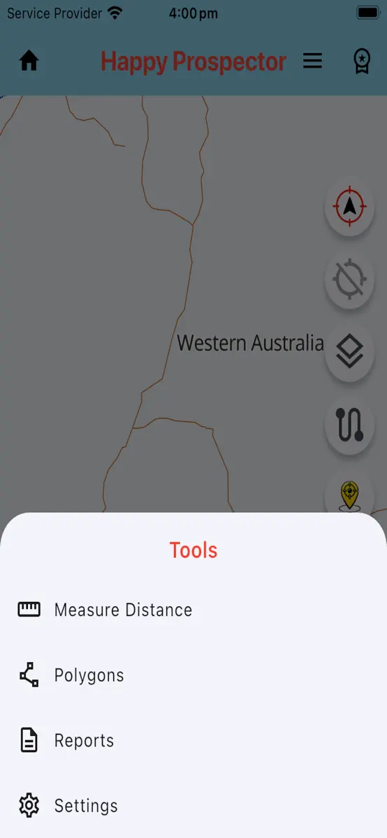
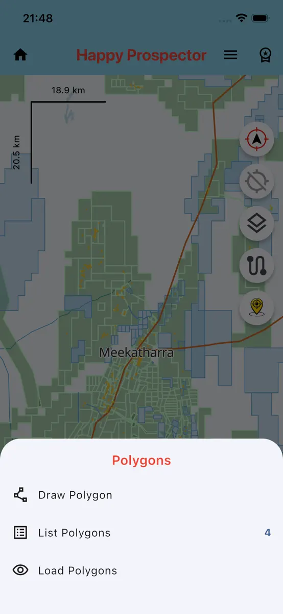
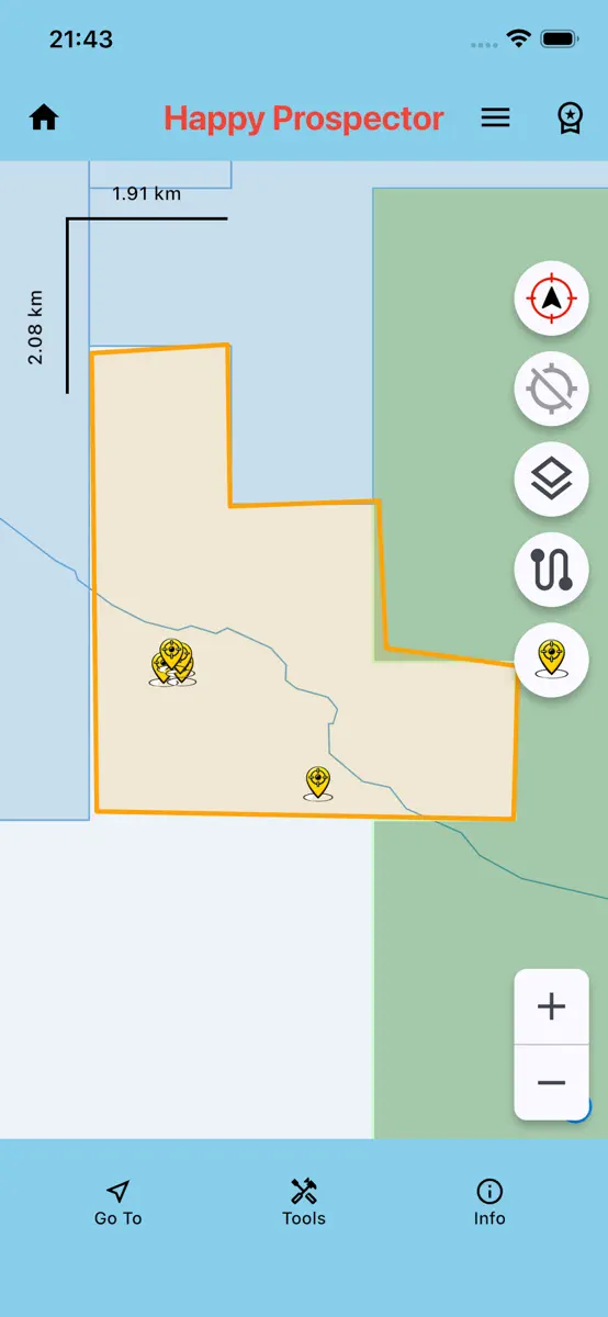


What's new
Version 2.6.81 · 17 Aug 2026 · 1 month ago
What’s New in Version 2.6.81 In addition to recently added features—like the live track-distance recording, saved track distances, CSV/ZIP track importing, the Measure Distance tool, polygon drawing and management, and configurable GPS, orientation and measuring controls—this version adds several major improvements for navigation, field markers and reporting. Browse map directly to a GPS point A new Browse to GPS Point option is available from the Go To menu. Enter valid latitude and longitude coordinates and the map will move directly to that exact position at a useful close-up zoom. The entry screen validates coordinates, remembers the last successful point and includes a Clear option for quickly entering another location. After arriving, Premium users can optionally place a marker at the exact browsed position using the normal marker editor. More field-marker choices Finds and field locations can now be classified with a much wider range of map symbols. The compact marker selector keeps commonly used choices immediately available while organising specialist markers into Gate and More groups. New Premium marker styles include: • Windmill • Dam • Dig Hole • Chained area • Dryblowing area • Pushed area • Drill Hole • Costean • Mine Gate, Windmill and Dam are grouped together, while the additional field and mining markers are available under More. Marker classifications are saved with each location and displayed using their matching map icons. Depth and weight fields remain available only for applicable Default and Find markers, keeping utility-marker entry simple. Improved 40E and Finds Reports Reports can now use either a saved polygon or a selected Live tenement as the exact reporting area. For Live tenements, long press the tenement on the map, review the highlighted boundary and confirm the selection. The report uses the actual tenement boundary, including boundary holes, rather than a simple polygon area. You can also choose whether to report: • Finds with recorded depth or size/weight • All saved marker types Report improvements include: • Date-range and exact-area filtering • Automatic tenement and lease information where available • Automatic first-listed tenement-holder details • Editable permit, lease, mineral, recovery and cost fields • Remembered prospector and permit-holder names • Marker classifications included in report records • Clear handling of measurements that were not recorded Better support for compact screens and larger text GPS coordinate entry, Find lists and action buttons have been refined for smaller iPhones and Android devices. Buttons and labels remain on a single row at larger accessibility text settings, while layouts also scale appropriately for iPads and Android tablets. This update continues making The Happy Prospector a more practical offline field companion for navigating directly to locations, recording meaningful site information and producing clearer reports from your saved prospecting data.
Current rankings
Every chart this app is in right now, best position first.
Not charting right now
This app isn't in any tracked top 100 at the moment. Its history below shows when it was.
Rank history
Higher on the chart is better: #1 is at the top.
No chart history to show
History appears for charts the app is currently in.
Ranking events
Entries, big moves, #1s and new versions we've recorded.
No events recorded yet
Events appear as the app enters charts, moves 25+ places or ships a new version.