Altitude explorer
Stefano Rampazzo
Getting the latest details from the App Store…
Stefano Rampazzo
Getting the latest details from the App Store…

Altitude Explorer Explore the terrain beneath your routes with precise elevation data powered by the Copernicus DEM GLO-90 — a global Digital Elevation Model derived from TanDEM-X radar imagery, operated by DLR and Airbus Defence and Space under the European Union's Copernicus Programme. Global coverage of all land areas (approximately 90S to 84N latitude, 180W to 180E longitude). What you can do • Point query — tap anywhere on the map to get the exact elevation at that location • Line…
Top of Paid · Reference in France. Altitude explorer is #29 there. Changes are over 7 days.


How the app presents itself on the App Store. Select a screenshot to open it full size.
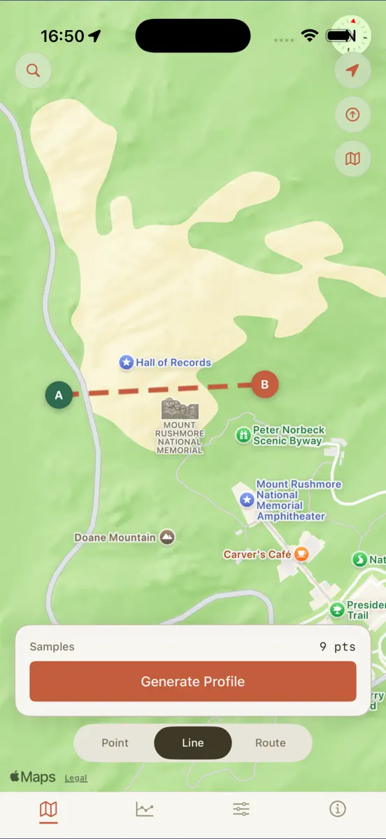

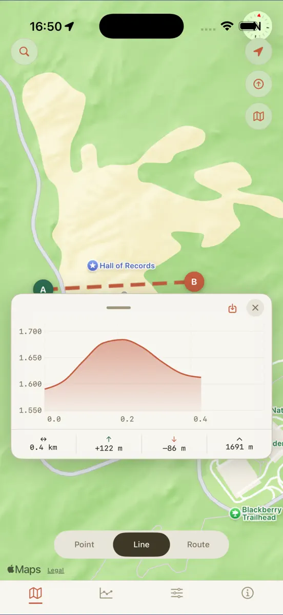

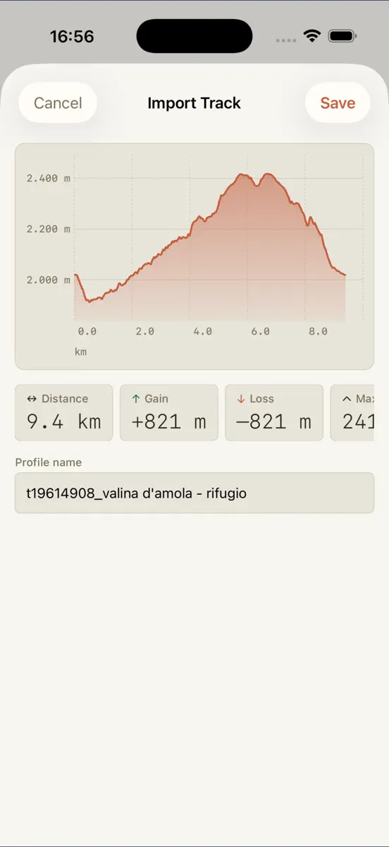
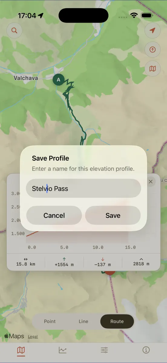

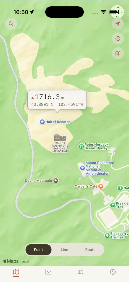

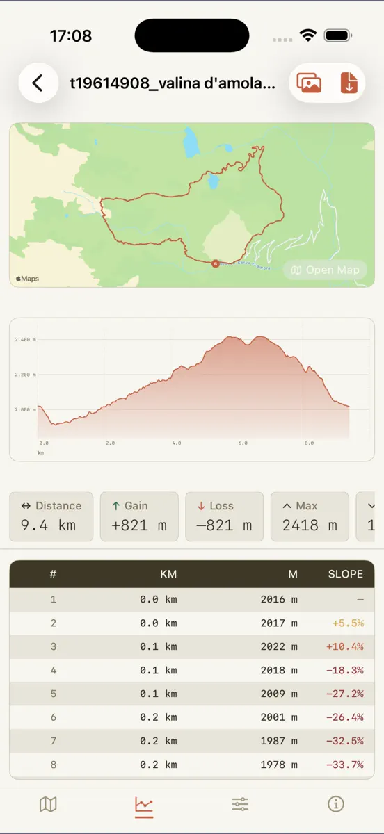
Every chart this app is in right now, best position first.
| Chart | Rank | 24 h | 7 days | Best | Days on chart |
|---|---|---|---|---|---|
| France· Paid · Reference | #29 |
Higher on the chart is better: #1 is at the top.













| Change unknown |
| #26 |
| 2 |
| Germany· Paid · Reference | #44 | Change unknown | Change unknown | #28 | 2 |
Sign in to see 30 days, 90 days and all history.
France · Paid · Reference: best #26, latest #29, over 2 snapshots since 8 Oct. No snapshots from 8 Oct to 9 Oct; the line joins the snapshots on either side.
Entries, big moves, #1s and new versions we've recorded.
No events recorded yet
Events appear as the app enters charts, moves 25+ places or ships a new version.