

Price and ratings
- Price
- $4.99
- Rating
- 4.8 out of 5
- Ratings
- 408United States
Versions
- Released
- 1 Jul 201115 years ago
- Last update
- 2 months agoVersion 2.1.1
- Requires
- iOS 18.0 or later
Details
- Size
- 55.2 MB
- Languages
- 1
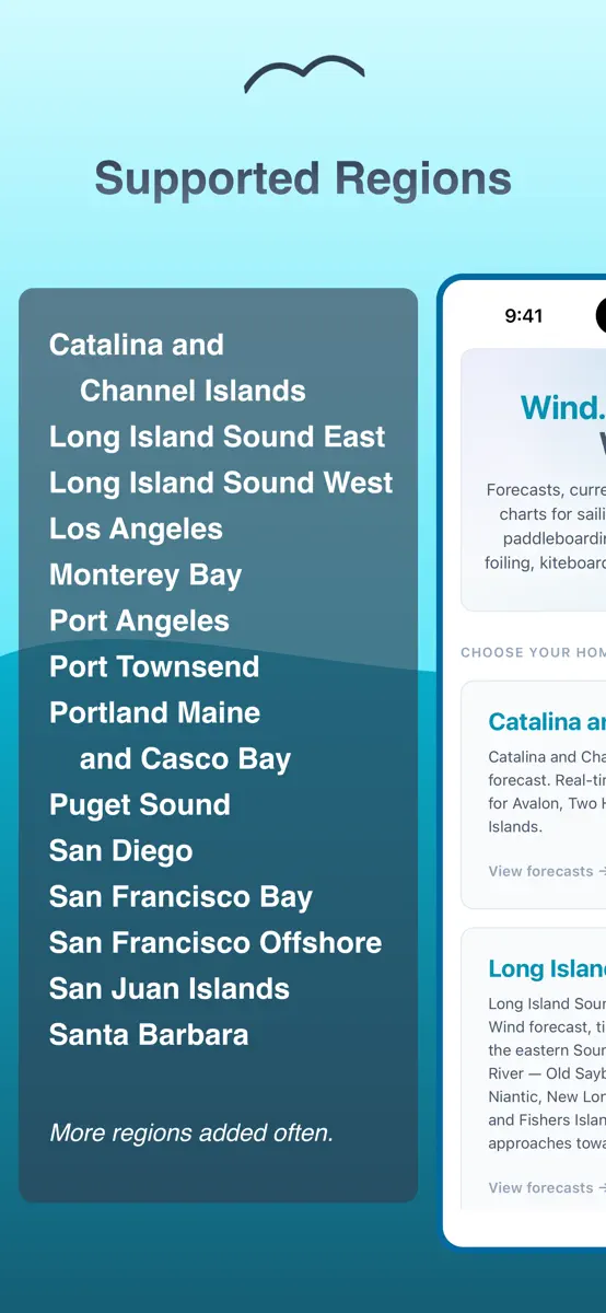
Marine weather for 14 regions on the US West and East Coasts: California, Washington, Long Island Sound, and Maine. If your region isn't listed below, hold off — more are in development. NOAA nautical charts, forecasts, currents, tides, and local conditions for boating, sailing, fishing, kayaking, paddleboarding, windsurfing, wing foiling, kiteboarding, and open water swimming. SUPPORTED REGIONS • San Francisco Bay • San Francisco Offshore • Monterey Bay • Santa Barbara • Catalina and Channel
Competitors
Full chartTop of Paid · Weather in United States. Wind & Tides: Marine Forecasts is #56 there. Changes are over 7 days.
- #1 (number one)Change unknown
 RadarScopeBase Velocity, LLC
 - #2Change unknown
 MyRadar Weather Radar ProAviation Data Systems, Inc
 - #3Change unknown
 My Hurricane Tracker ProJRustonApps B.V.
 - #4Change unknown
 NOAA Weather RadioChristopher Coudriet
 - #5Change unknown
 My Aurora Forecast ProJRustonApps B.V.
 - #6Change unknown
 RadarOmega: Doppler Radar AppSDS Weather LLC
 - #7Change unknown
 Best Hunting TimesK SOLUTION LLC
 - #8Change unknown
 Foggy: Bay Area Fog TrackerNyfik, Inc.
 - #9Change unknown
 My Lightning Tracker ProJRustonApps B.V.
 - #10Change unknown
 My Earthquake Alerts ProJRustonApps B.V.
 - #11Change unknown
 My Moon Phase Pro - AlertsJRustonApps B.V.
 - #12Change unknown
 Earthquake NetworkFutura Innovation SRL
 - #13Change unknown
 Metar-TafEveline van den Boom
 - #14Change unknown
 NoAd RadarCicada Group, LLC
 - #15Change unknown
 River Levels & FlowsLW Brands, LLC
 - #16Change unknown
 Hurricane CenterChristopher Coudriet
 - #17Change unknown
 Thermo-hygrometerMORETHAN APPS
 - #18Change unknown
 RainAwareRainAware LLC
 - #19Change unknown
 Shooting Light: Hunt Clock37 South, LLC
 - #20Change unknown
 WeatherProDTN Germany GmbH.
Store listing
How the app presents itself on the App Store. Select a screenshot to open it full size.
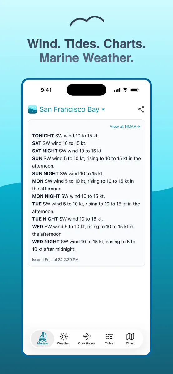
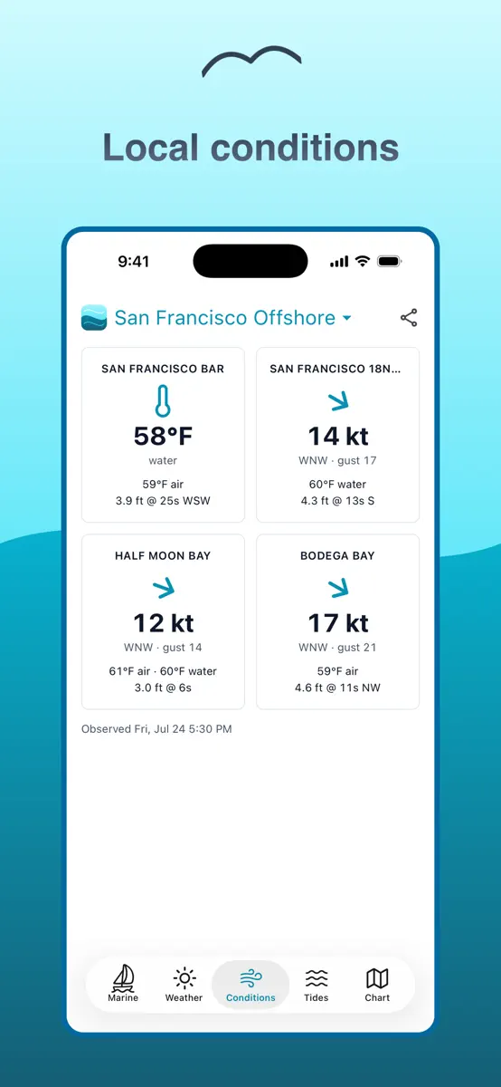
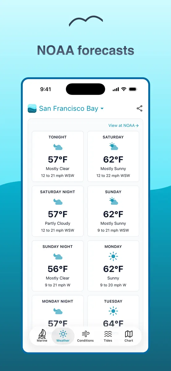
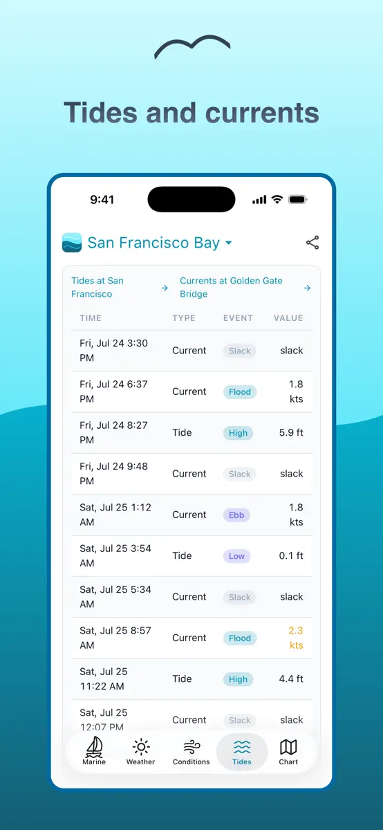
What's new
Version 2.1.1 · 25 Jul 2026 · 2 months ago
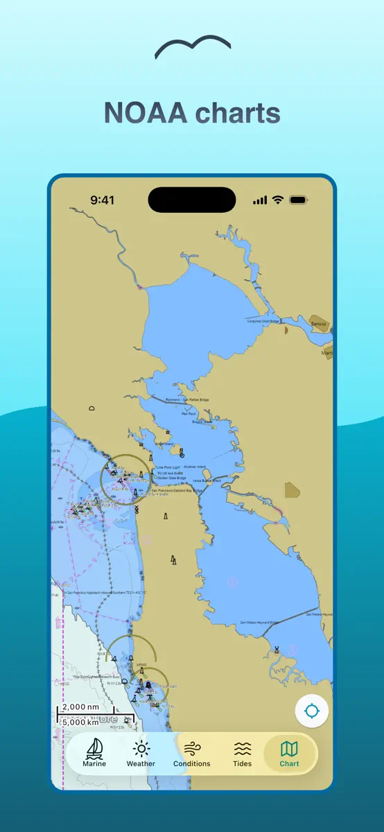
Added NOAA nautical charts — pan and zoom to view depths, hazards, buoys, and channel markers alongside the marine forecast. Coverage now spans 14 regions on the West and East Coasts, adding Port Angeles, Port Townsend, Long Island Sound West and East, and Portland Maine and Casco Bay.
Current rankings
Every chart this app is in right now, best position first.
| Chart | Rank | 24 h | 7 days | Best | Days on chart |
|---|---|---|---|---|---|
| United States· Paid · Weather | #56 | Down 21 places | Change unknown | #34 | 2 |
Rank history
Higher on the chart is better: #1 is at the top.
Sign in to see 30 days, 90 days and all history.
United States · Paid · Weather: best #34, latest #56, over 4 snapshots since 8 Oct. No snapshots from 8 Oct to 9 Oct and on 9 Oct; the line joins the snapshots on either side.
Ranking events
Entries, big moves, #1s and new versions we've recorded.
No events recorded yet
Events appear as the app enters charts, moves 25+ places or ships a new version.