AGRIplot
SharpeTech
Getting the latest details from the App Store…
SharpeTech
Getting the latest details from the App Store…

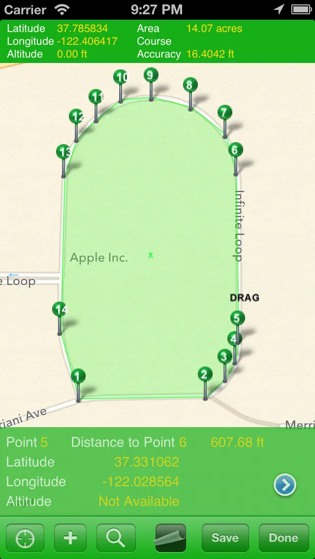
AGRIplot allows you to plot any area on a map. Simply walk around your property and add a landmark point, or drag and drop pins anywhere on the map. AGRIplot will automatically calculate the area enclosed by the points and provide the distances between each point. Interest points allow you to identify additional features for your plot. You can even take pictures associated with each landmark or interest point for a visual representation. Share your plot with the option to email a PDF or KML…
Top of Paid · Utilities in United States. AGRIplot isn't in it right now. Changes are over 7 days.


How the app presents itself on the App Store. Select a screenshot to open it full size.



Version 3.0.5 · 19 Aug 2015 · 11 years ago
Fixed a bug that caused the app to crash when a new plot was selected. Added latitude and longitude to interest point popup panel. Added option to email data file for support purposes. A special thanks to Jon for his help in tracking down some bugs.
Every chart this app is in right now, best position first.
Not charting right now
This app isn't in any tracked top 100 at the moment. Its history below shows when it was.
Higher on the chart is better: #1 is at the top.
No chart history to show
History appears for charts the app is currently in.
Entries, big moves, #1s and new versions we've recorded.