

Land Lens: field maps farm GPS
Alina Bohuslavska
Getting the latest details from the App Store…
Alina Bohuslavska
Getting the latest details from the App Store…

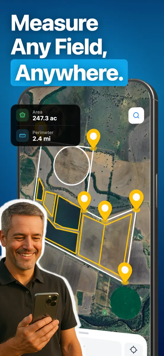
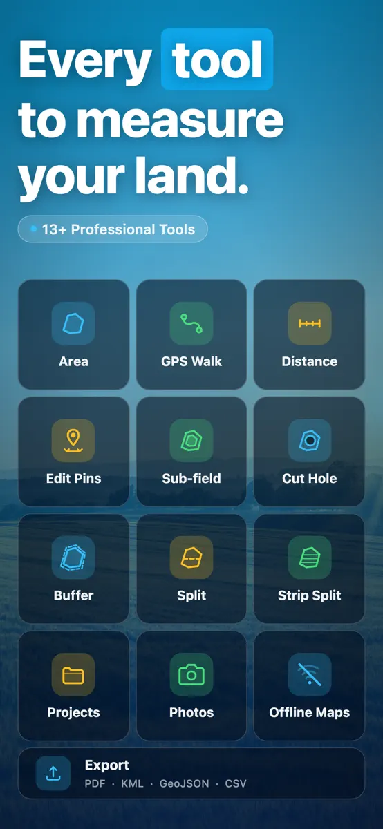
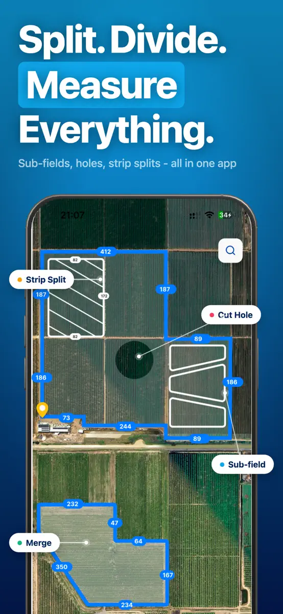
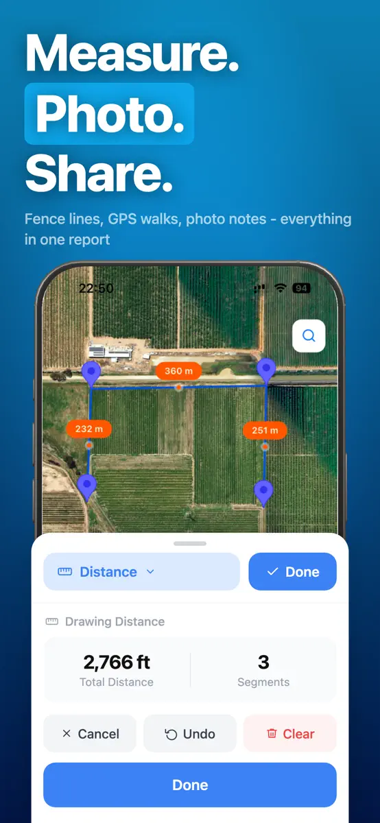
Whether you're a farmer planning a harvest, a real estate professional measuring a property, or a surveyor mapping land, Land Lens is the all-in-one GPS tool built for accuracy and simplicity. With just a few taps on your satellite map, you can measure any field, plot, or land area in seconds. It's the GPS measurement tool trusted by professionals worldwide. Core Features for Land & Field Measurement: ‣ GPS Area Calculator: Instantly measure any field, plot, or property. Simply drop points on
Top of Grossing · Navigation in India. Land Lens: field maps farm GPS is #57 there. Changes are over 7 days.


How the app presents itself on the App Store. Select a screenshot to open it full size.


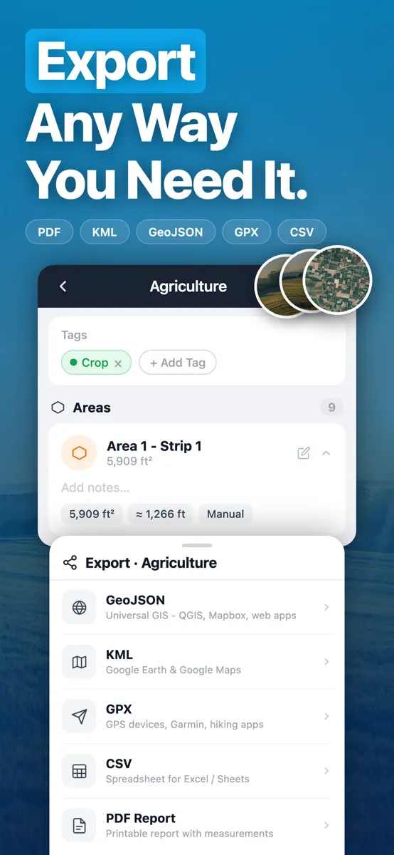
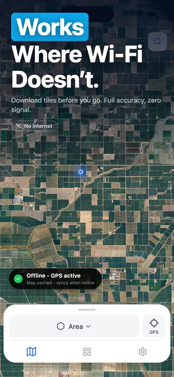

Version 1.23.0 · 26 Sep 2026 · 14 days ago
What's new in 1.23.0: • Curved edges: tap a corner to turn it into a curve point, then drag the blue handles to follow roads, rivers and rounded boundaries. • Undo is always one tap away while drawing, and it now undoes any change, including moved or added corners. • Swipe left on a shape to delete it, or clear the whole map at once. • Brighter pins and lines that stand out on satellite imagery. • Fixed the first point sometimes landing far from where you tapped. Thank you for your reviews, they shaped this update!
Every chart this app is in right now, best position first.
| Chart | Rank | 24 h | 7 days | Best | Days on chart |
|---|
Higher on the chart is better: #1 is at the top.


| India· Grossing · Navigation | #57 | New entry | Change unknown | #57 | 1 |
Sign in to see 30 days, 90 days and all history.
India · Grossing · Navigation: best #57, latest #57, over 6 snapshots since 8 Oct. No snapshots from 8 Oct to 9 Oct, on 9 Oct, and on 10 Oct; the line joins the snapshots on either side.
Entries, big moves, #1s and new versions we've recorded.
