

台灣舊地圖散策
Yun-Ching Wu
Getting the latest details from the App Store…
Yun-Ching Wu
Getting the latest details from the App Store…

拿著百年歷史地圖走進現在的城市。 「台灣舊地圖散策」把中央研究院典藏的 19 張歷史地圖磚疊在現代地圖上。你能一邊走在街上,一邊看 1904 年的同一塊地是什麼樣子。你腳下的馬路,百年前可能是水圳、糖鐵,或一座消失的聚落。 19張歷史地圖,全臺涵蓋 日治時期(1904–1944)的臺灣堡圖與地形圖、美軍時期(1944–1945)的軍用地圖與城市圖、戰後經建版(1950–2003)四代地形圖,以及 CORONA 冷戰解密衛星影像。每張可獨立切換、調整透明度,放大到街區級。 今昔對照 「對照拉條」左右滑動,一手拉開 1904 與現在;「四代對照」把同一地點的四個年代並排眼前。 每日抽卡 × 明信片散策 每天打開 App,沖洗一張日治時期的時光明信片,連同歷史故事收進卡夾。全臺217個歷史現場藏著真正的收藏,走到地點 50 公尺內,明信片就會顯影升級為永久收藏。每張都附歷史說明與出處。 GPS 散策記錄 記錄路線、沿途拍照、收集 22 縣市印章,月曆回顧每一次散策。路線可匯出 GeoJSON。 22 個縣市 ×…
Top of Paid · Travel in Japan. 台灣舊地圖散策 is #8 there. Changes are over 7 days.

















How the app presents itself on the App Store. Select a screenshot to open it full size.
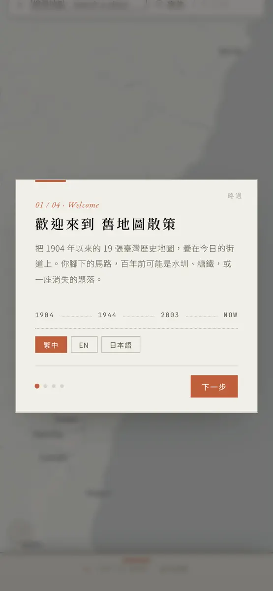
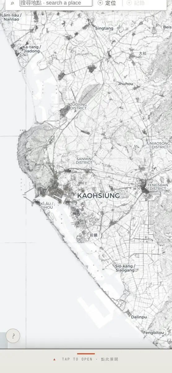
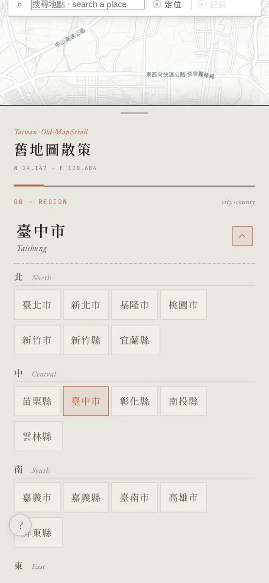
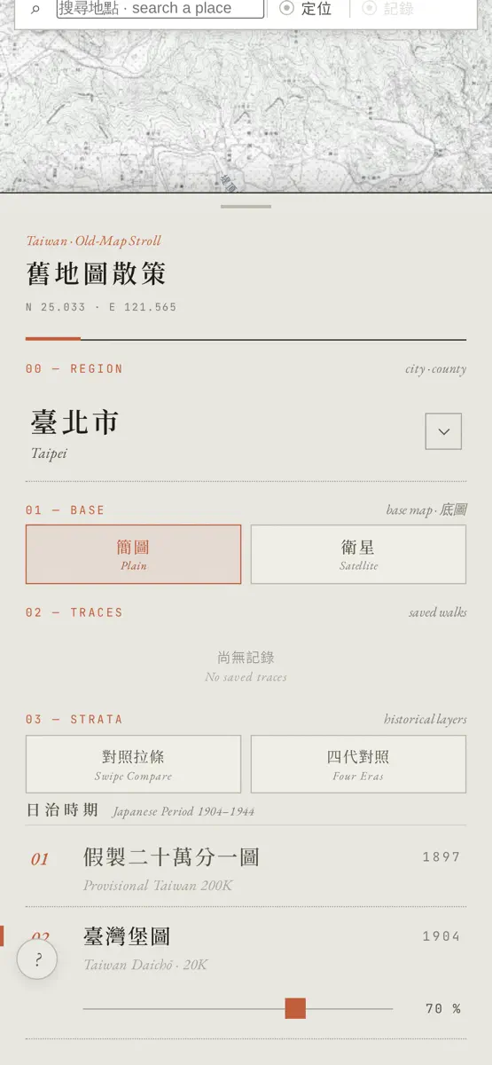


Version 1.4 · 23 Aug 2026 · 1 month ago
· 修正定位無法取得位置、持續顯示載入中的問題 · 新功能「歷史事件與地點」:地圖上探索 1,018 個台灣歷史現場,從史前、平埔族群、荷西、鄭氏清領、日本時代到戰後,六個時代圖層隨你切換 · 新功能「街景漫遊」:百年古地圖鋪成腳下的地面,邊走邊看、古今疊合 · 全新 App 圖示與多項介面優化
Every chart this app is in right now, best position first.
| Chart | Rank | 24 h | 7 days | Best | Days on chart |
|---|---|---|---|---|---|
| Japan· Paid · Travel | #8 | New entry | Change unknown | #8 | 1 |
Higher on the chart is better: #1 is at the top.
Sign in to see 30 days, 90 days and all history.
Japan · Paid · Travel: best #8, latest #8, over 10 snapshots since 8 Oct. No snapshots from 8 Oct to 9 Oct, on 9 Oct, on 10 Oct, on 11 Oct, and on 12 Oct; the line joins the snapshots on either side.
Entries, big moves, #1s and new versions we've recorded.