

Price and ratings
- Price
- £2.99
- Rating
- —
- Ratings
- 0United Kingdom
Versions
- Released
- 13 Aug 20261 month ago
- Last update
- 1 day agoVersion 6.4
- Requires
- iOS 17.6 or later
Details
- Size
- 189 MB
- Languages
- 1
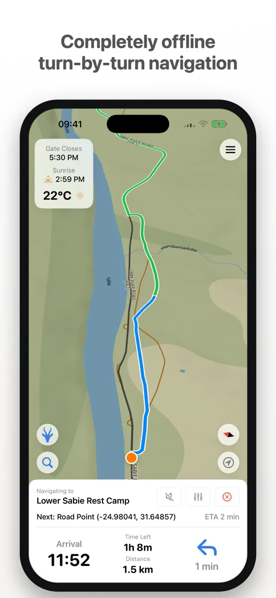
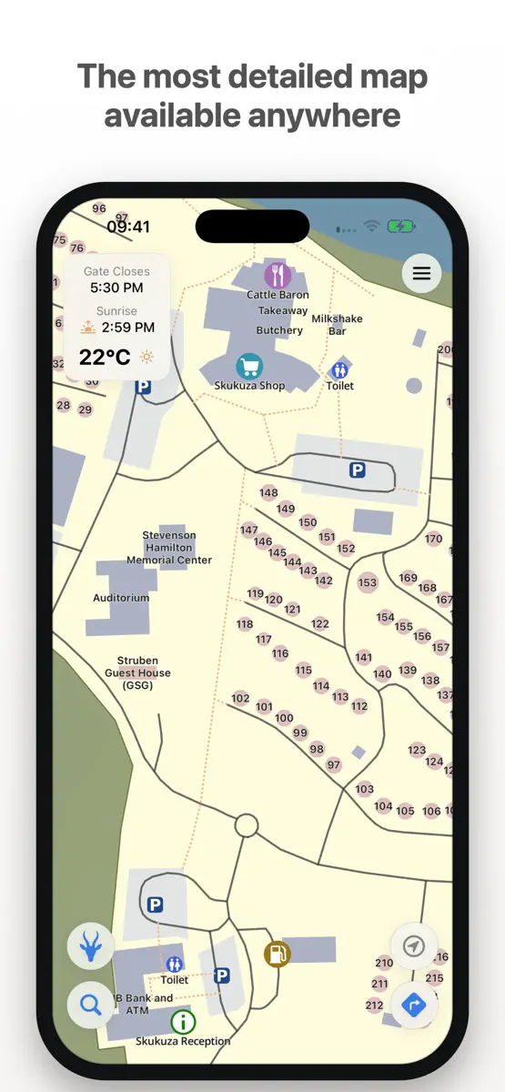
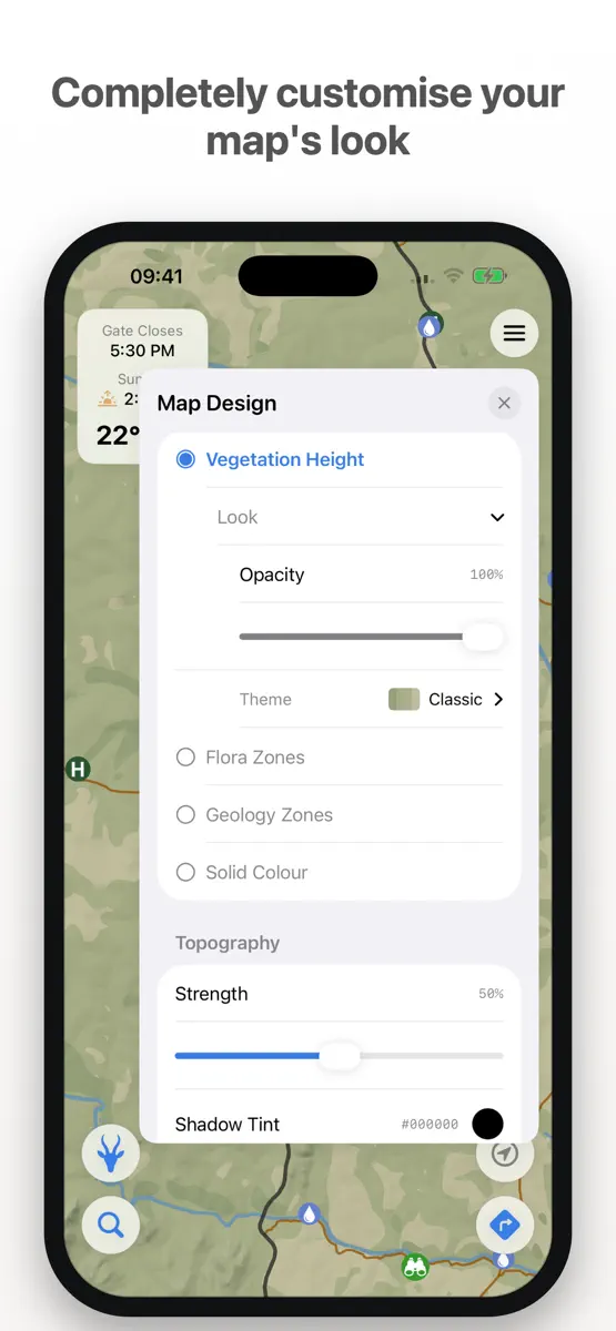
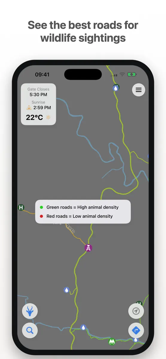
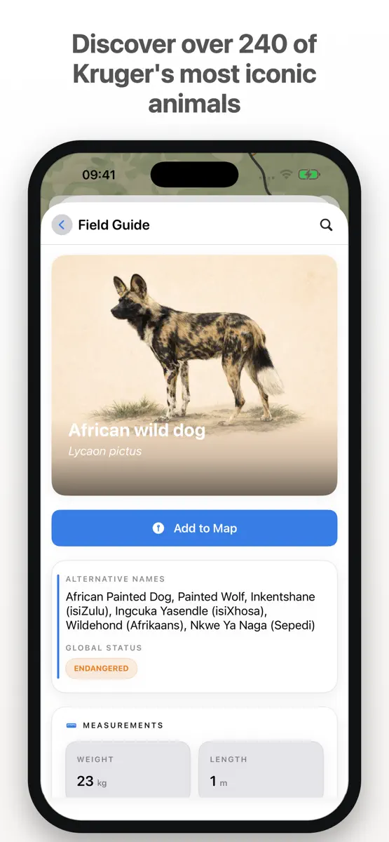
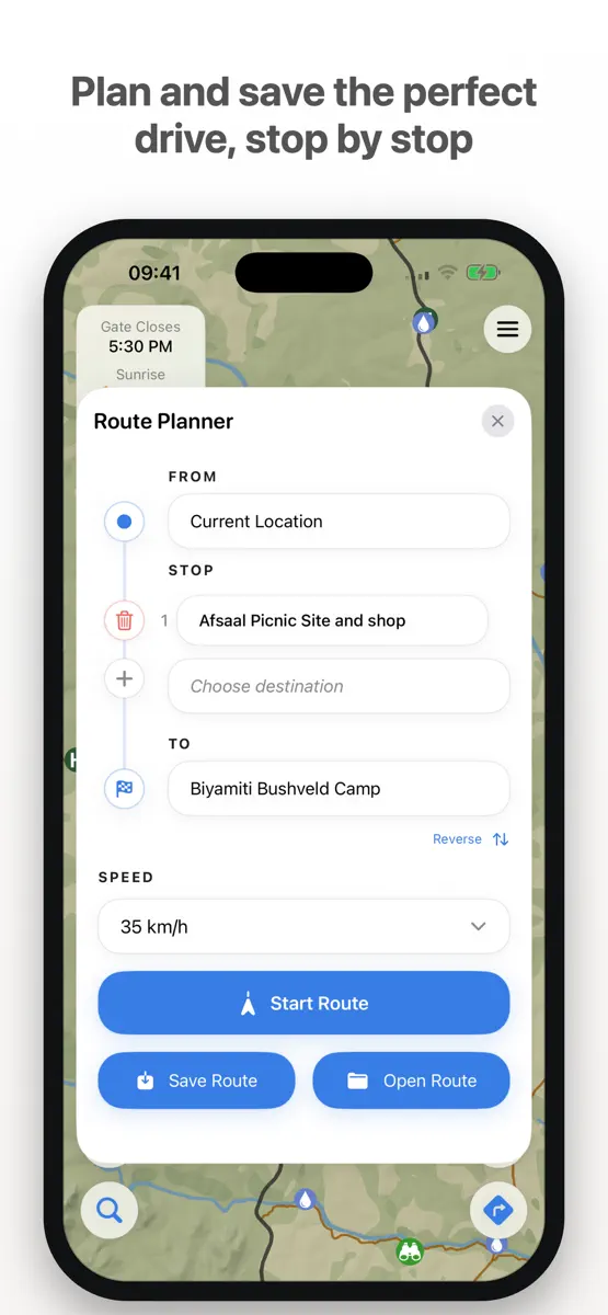
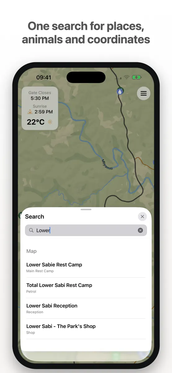
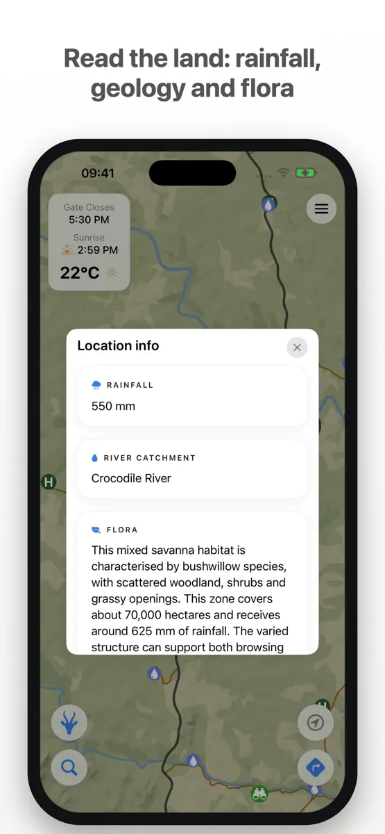
Navigate Kruger National Park with turn-by-turn directions that work anywhere in the park — even with no signal, no data and no roaming. The entire map is already on your phone. Kruger Nav is an offline-first safari companion, built for one park and nothing else. The map, the routing engine, the wildlife guide and everything you save all live on your device — so the app works exactly the same at a remote waterhole as it does at the gate. BUILT FOR THE BUSH Offline turn-by-turn navigation. A…
Competitors
Full chartTop of Paid · Navigation in United Kingdom. Kruger Nav is #44 there. Changes are over 7 days.
- #1 (number one)Change unknown
 Solocator - GPS Field CameraCivi Corp
 - #2Change unknown
 Blitzer.de PROEifrig Media
 - #3Change unknown
 MilGPSCascode Labs Pty Ltd
 - #4Change unknown
 MapOutValnova
 - #5Change unknown
- #6Change unknown
 Llwybrau'r WyddfaSnowdonia National Park Authority
 - #7Change unknown
 Ship Finderpinkfroot limited
 - #8Change unknown
 POIViewerFrenchKiss Development
 - #9Change unknown
 TheodoliteCraig Hunter
 - #10Change unknown
 Tacho 55 Pro. GPS-Kit.Stanislav Dvoychenko
 - #11Change unknown
 UK MapMappendix Limited
 - #12Change unknown
 GPS LocateDavid Southgate
 - #13Change unknown
 Hill ListsGraham Haley
 - #14Change unknown
 Lake District Maps OfflineJOMO Solutions Ltd
 - #15Change unknown
 Snowdonia Maps OfflineJOMO Solutions Ltd
 - #16Change unknown
 NZ Topo50 South IslandRight Place Resources
 - #17Change unknown
 Marine Regeln und SignaleFB Imray Laurie Norie & Wilson GmbH
 - #18Change unknown
 Altitude DrivePeter Santangeli
 - #19Change unknown
 OutDoors GB - Offline OS MapsRoadTour LLC
 - #20Change unknown
 GPS Diagnostic: Satellite TestDavid Ryall

Store listing
How the app presents itself on the App Store. Select a screenshot to open it full size.
What's new
Version 6.4 · 8 Oct 2026 · 1 day ago
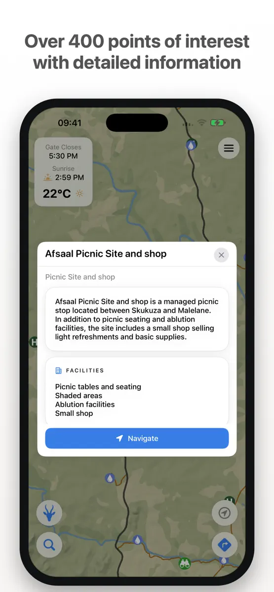
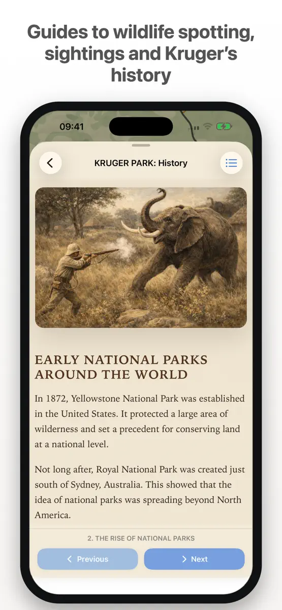
NEW - Offline Field Guide – around 3,000 Wikipedia articles on Kruger's wildlife, plants and places, readable with no signal. They appear in search below the Species Database. - Gate times – entrance gate and camp gate opening and closing times on every gate and camp, with a live open/closed status and countdown. - Gate guides – what to expect at each entrance gate: the paperwork you need, conservation fees and the Wild Card. - Camp history – the stories behind most of Kruger's camps. - Richer place cards – new Facilities and Contact sections with tap-to-call numbers, website, bookings and email. - Create your own KML files – a step-by-step wizard with custom fields. - Use KML lines as roads – add your own tracks to the road network and navigate along them. - Paper map finish – an optional paper grain and vignette (Map Design → Paper). - Overlay chips – tap to quickly switch off Animal Density, Rainfall or River Catchments. IMPROVED - Navigation: an arrival tone and "You've arrived" message, fewer false arrivals, and stops you drive past are now marked as visited. - Road number signs stay visible during navigation, and more appear as you zoom in. - The moon card now shows a more detailed moon for each day.
Current rankings
Every chart this app is in right now, best position first.
| Chart | Rank | 24 h | 7 days | Best | Days on chart |
|---|---|---|---|---|---|
| United Kingdom· Paid · Navigation | #44 | Change unknown | Change unknown | #32 | 2 |
Rank history
Higher on the chart is better: #1 is at the top.
Sign in to see 30 days, 90 days and all history.
United Kingdom · Paid · Navigation: best #32, latest #44, over 2 snapshots since 8 Oct. No snapshots from 8 Oct to 9 Oct; the line joins the snapshots on either side.
Ranking events
Entries, big moves, #1s and new versions we've recorded.
No events recorded yet
Events appear as the app enters charts, moves 25+ places or ships a new version.