

Price and ratings
- Price
- A$4.99
- Rating
- 3.1 out of 5
- Ratings
- 8Australia
Versions
- Released
- 22 Dec 201114 years ago
- Last update
- 5 months agoVersion 9.6.9
- Requires
- iOS 12.0 or later
Details
- Size
- 11.1 MB
- Languages
- 1
Unleash the navigation potential of your iPhone or iPad with iHikeGPS NZ! Turn your device into a high-performance GPS receiver with the official LINZ New Zealand topo maps. These maps have many valuable back country details to keep you informed and safe. Even in remote areas with no cell signal, iHikeGPS NZ ensures you always know where you've been, where you are, and where you’re going. Experience the ultimate hiking companion, offering unparalleled track recording, route navigation, and…
Competitors
Full chartTop of Paid · Navigation in Australia. iHikeGPS NZ : LINZ Topo Maps is #81 there. Changes are over 7 days.
- #1 (number one)Change unknown
 Solocator - GPS Field CameraCivi Corp
 - #2Change unknown
 4WD Maps - Offline Topo MapsHema Maps Pty Ltd
 - #3Change unknown
 WikiFarms AustraliaAdrien Gardes
 - #4Change unknown
 MapOutValnova
 - #5Change unknown
 Speedometer 55 Pro. GPS kit.Stanislav Dvoychenko
 - #6Change unknown
 TheodoliteCraig Hunter
 - #7Change unknown
 ExplorOz TravellerI.T. Beyond Pty Ltd
 - #8Change unknown
- #9Change unknown
 iMelway Edition 49Melway Publishing Pty Ltd
 - #10Change unknown
 Pocket Earth PROGeoMagik LLC
 - #11Change unknown
 GPX-ViewerKyle Modesitt
 - #12Change unknown
 Land Nav AssistantGammon Applications, LLC
 - #13New entry
 Map Chart MosaicAppMosaic.com
 - #14New entry
 CoNavVladyslav Yarmak
 - #15New entry
 Real Tides & Currents Chart HDFlytomap
 - #16New entry
 Apparent Wind CalculatorAdam Harvey
 - #17New entry
 MGRS GPS: Grid & Land NavDajiale
 - #18Change unknown
 PureTrack GPS TrackerTim Bromhead
 - #19Change unknown
 NZ Topo50 South IslandRight Place Resources
 - #20Change unknown
 MilGPSCascode Labs Pty Ltd

Store listing
How the app presents itself on the App Store. Select a screenshot to open it full size.





What's new
Version 9.6.9 · 24 Apr 2026 · 5 months ago
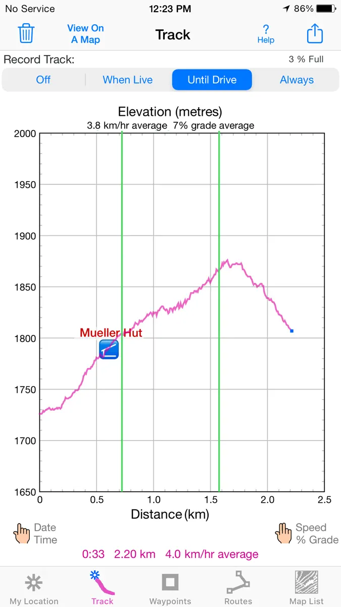
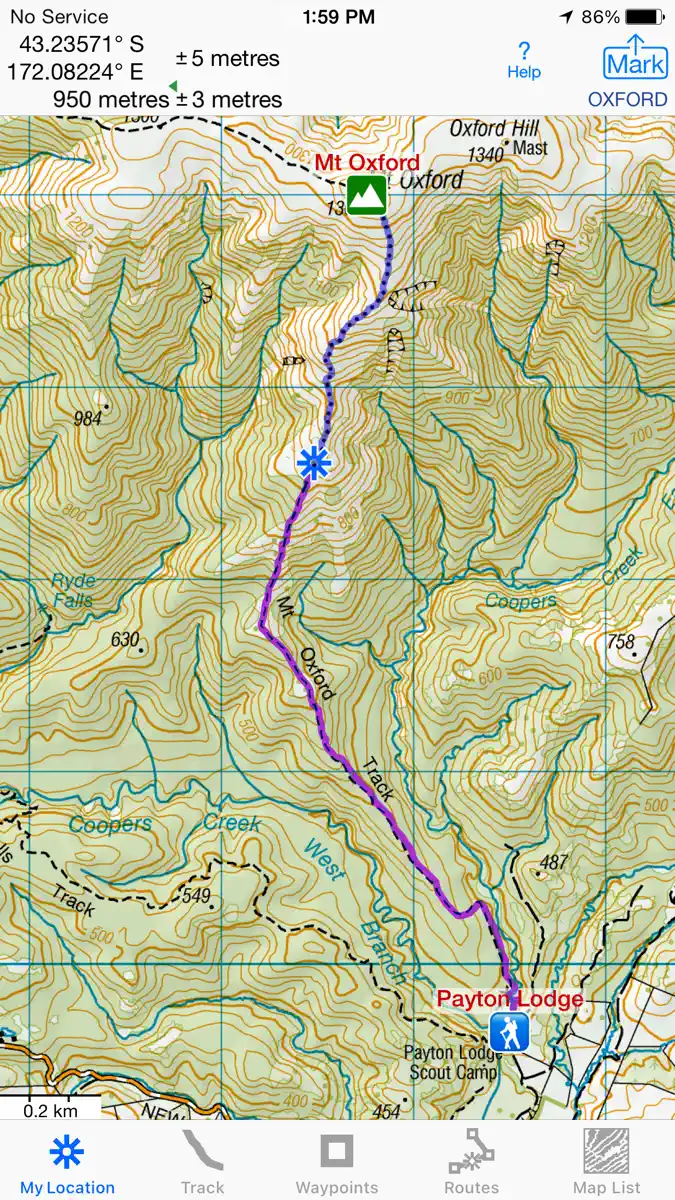
Improved wording on some Alerts and Notifications. What's new in iHikeGPS NZ compared with other available New Zealand topo map apps? • Real Navigation Power: Unlike other apps that simply display waypoints and routes on a map, iHikeGPS NZ empowers you to do real navigation to those waypoints and along those routes while receiving crucial information such as Estimated Time of Arrival, current bearing, and remaining distance and elevation gain to intermediate and final destinations. Use iHikeGPS NZ when you are on the trail and away from cell service. For your safety on the trail it always works no matter where you are hiking without requiring an Internet connection. • You can view elevation graphs of your Tracks and Routes with Waypoints, speed and % grade shown on them. • You can view elevation graphs of your Tracks and Routes with Waypoints, speed and % grade shown on them. • You can create, import, edit, and navigate both on routes based on a recorded or imported path, and on routes based on a series of waypoints. • There is never any confusion over what maps you have available offline. They are clearly listed and shown on an overview map. • iHikeGPS NZ' s code size is kept very small by efficient programming so in an emergency, you can download it easily even over a weak cell connection. • The current version of iHikeGPS NZ runs on the latest devices and also on older devices with older versions of iOS , all the way back to devices such as the iPhone 6. • Check the App Privacy section. We don't know who you are when you are using iHikeGPS NZ. We never send your current location or your recorded track to our servers. Hence we cannot and don't use your location data. We cannot and don't provide your location data to anyone else. Unlike other mapping apps that profit from using your location data in ways that do not keep it private, iHikeGPS NZ maintains the highest level of data confidentially. Posted on YouTube: "On that day I was using iHikeGPS app to track… When I'm doing any exploration hike, this is the app I would always use to make sure I will be able to return to my car. I've encounter dead zone areas where there's no internet signal, some apps will freeze and stop working… I would not rely on using those … apps for exploration hikes. As basic iHikeGPS appears to be, it continues to work flawless without internet. To this day I continue to use iHikeGPS for certainty and survival." - Carlos
Current rankings
Every chart this app is in right now, best position first.
| Chart | Rank | 24 h | 7 days | Best | Days on chart |
|---|---|---|---|---|---|
| Australia· Paid · Navigation | #81 | Down 2 places | Change unknown | #74 | 2 |
Rank history
Higher on the chart is better: #1 is at the top.
Sign in to see 30 days, 90 days and all history.
Australia · Paid · Navigation: best #74, latest #81, over 3 snapshots since 8 Oct. No snapshots from 8 Oct to 9 Oct and on 9 Oct; the line joins the snapshots on either side.
Ranking events
Entries, big moves, #1s and new versions we've recorded.
No events recorded yet
Events appear as the app enters charts, moves 25+ places or ships a new version.
More from James Associates Inc.
Their other apps that Appulse has seen in the charts, charting ones first.
| App | Best rank now | Released | App Store |
|---|---|---|---|
 iSailGPS NZ : Nautical ChartsNavigation | Paid · NavigationUnited Kingdom#47 | 12 years ago | |
 iHikeGPS : Classic Topo MapsNavigation | Paid · NavigationCanada#81 | 16 years ago | |
 iSailGPS : NOAA USA RNC ChartsNavigation | Not charting | 15 years ago |