
横濱時層地図
Japan Map Center, Inc.
Getting the latest details from the App Store…
Japan Map Center, Inc.
Getting the latest details from the App Store…
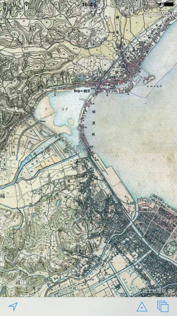
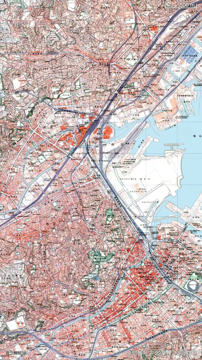
iPadでのご利用をお考えの方は、別アプリ「東京時層地図 for iPad」をご検討ください。 iOS6では、現代の地図が「Google社のマップ」から「Apple社のマップ」に変更されます。 「横濱時層地図」は、2010年発売以来、大変ご好評を頂いている「東京時層地図」の「横濱版」です。明治から現代までの時間を軸に、横浜の変遷を知ることができる地図アプリです。収録範囲には、横浜市・川崎市といった南関東を代表する政令指定都市を含んでいます。 横浜の発展は、江戸時代末期のペリー率いる黒船来港に始まります。日米和親条約及び日米修好通商条約が締結されると、当時は寒村であった横浜村に、各国の外国商館や外国人居留地の施設が置かれました。これにより明治時代の横浜は急速に都市基盤の整備や貿易による商業の発達が進みました。大正時代の関東大震災や昭和前期の第二次世界大戦の横浜大空襲で市街地は壊滅しましたが、1950(昭和25)年に制定された「横浜国際港都建設法」を契機に復興が進みました。高度経済成長以降の発展は著しく、湾岸部では埋立地の造成、市街地では急激な都市化が進み、現在の国際貿易都市「横浜…
Top of Paid · Navigation in Japan. 横濱時層地図 is #49 there. Changes are over 7 days.


How the app presents itself on the App Store. Select a screenshot to open it full size.
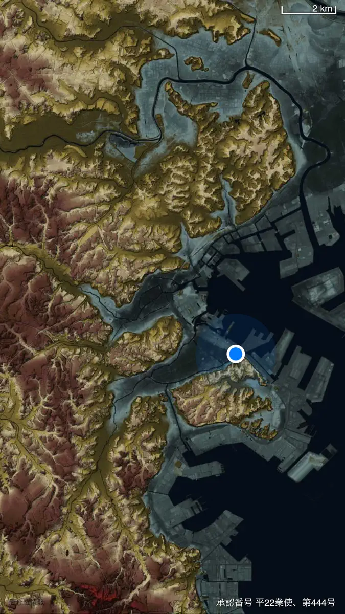
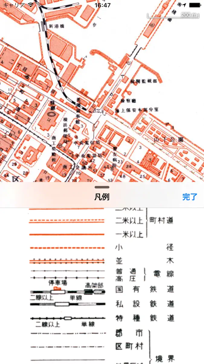
Version 1.4.1 · 29 Nov 2022 · 3 years ago
iOS 16でクラッシュする問題を修正しました。 iPhone X以降の画面サイズに対応しました。
Every chart this app is in right now, best position first.
| Chart | Rank | 24 h | 7 days | Best | Days on chart |
|---|---|---|---|---|---|
Higher on the chart is better: #1 is at the top.
Their other apps that Appulse has seen in the charts, charting ones first.
| App | Best rank now | Released | App Store |
|---|---|---|---|
 (旧)東京時層地図Navigation | Paid · NavigationJapan#31 |










| #49 |
| Change unknown |
| Change unknown |
| #49 |
| 2 |
Sign in to see 30 days, 90 days and all history.
Japan · Paid · Navigation: best #49, latest #49, over 2 snapshots since 8 Oct. No snapshots from 8 Oct to 9 Oct; the line joins the snapshots on either side.
Entries, big moves, #1s and new versions we've recorded.
No events recorded yet
Events appear as the app enters charts, moves 25+ places or ships a new version.
 東京時層地図Navigation | Grossing · NavigationJapan#100 | 7 months ago |