

Price and ratings
- Price
- $9.99
- Rating
- 5.0 out of 5
- Ratings
- 5United States
Versions
- Released
- 7 Dec 202510 months ago
- Last update
- 1 month agoVersion 1.8.1
- Requires
- iOS 17.6 or later
Details
- Size
- 19.6 MB
- Languages
- 1
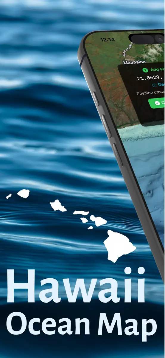
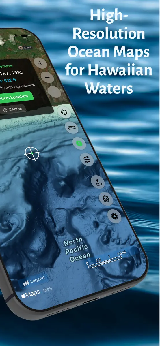
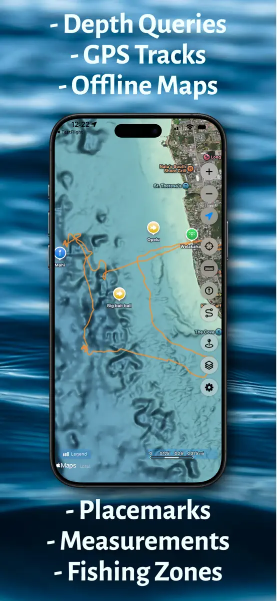
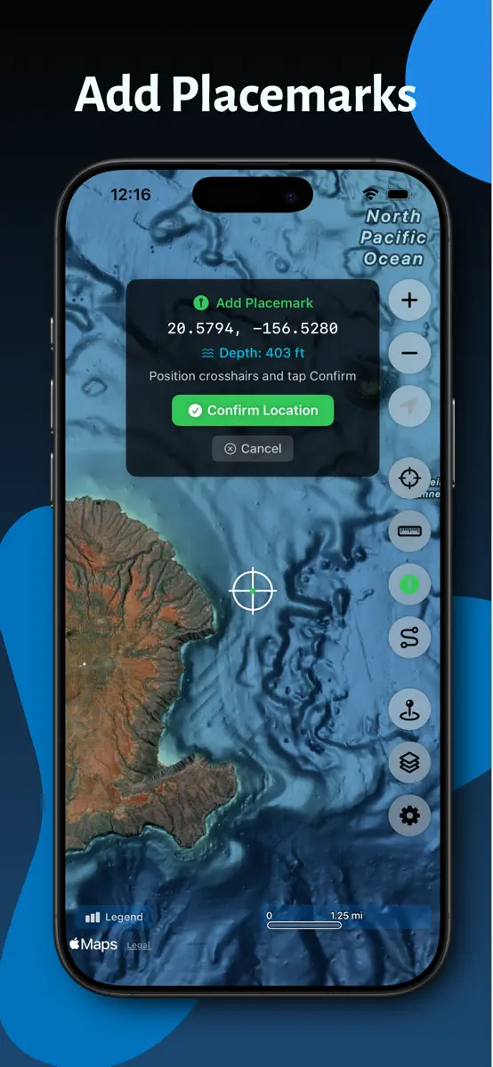
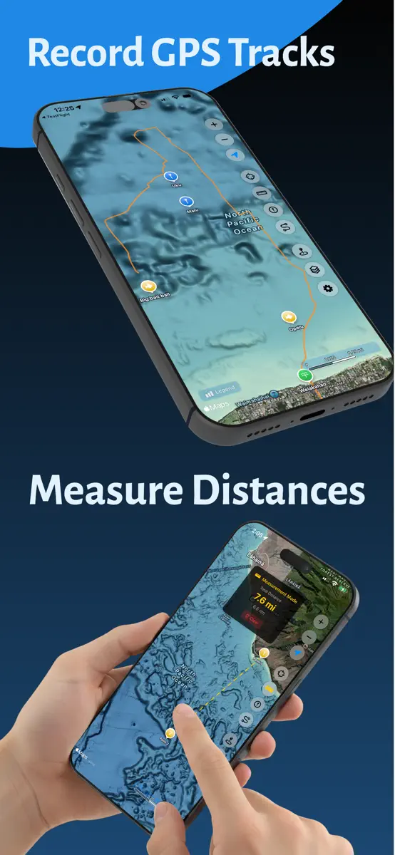
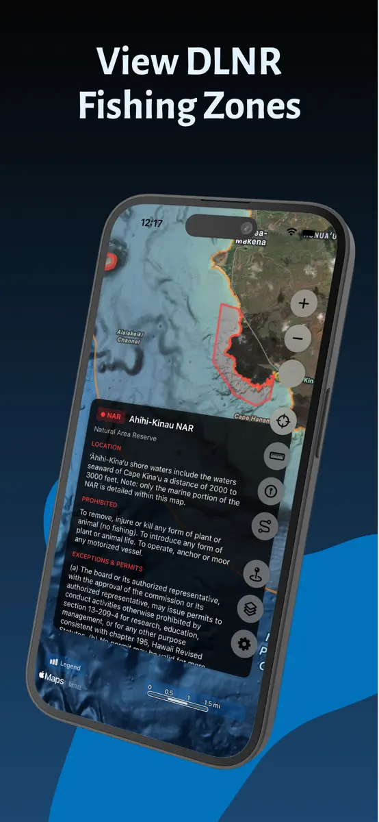
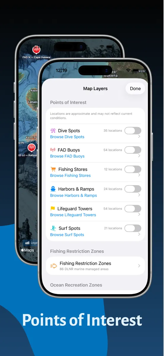
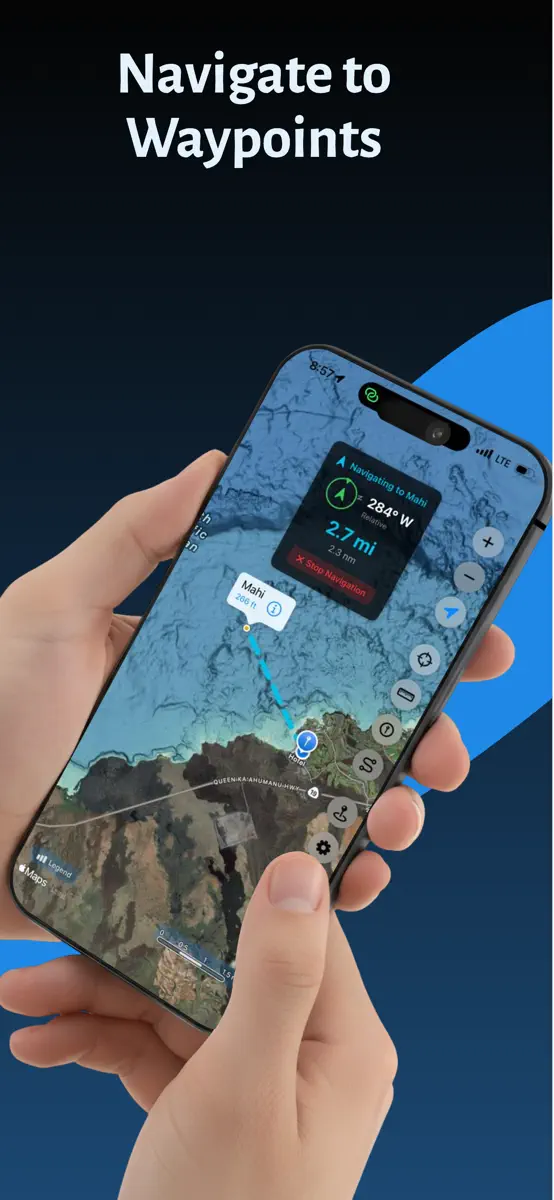
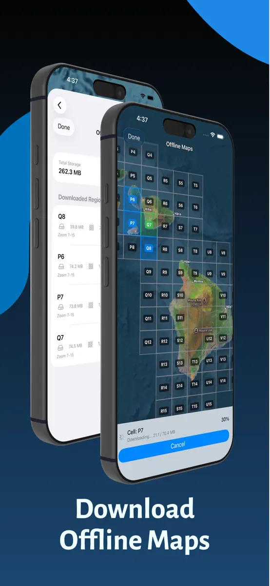
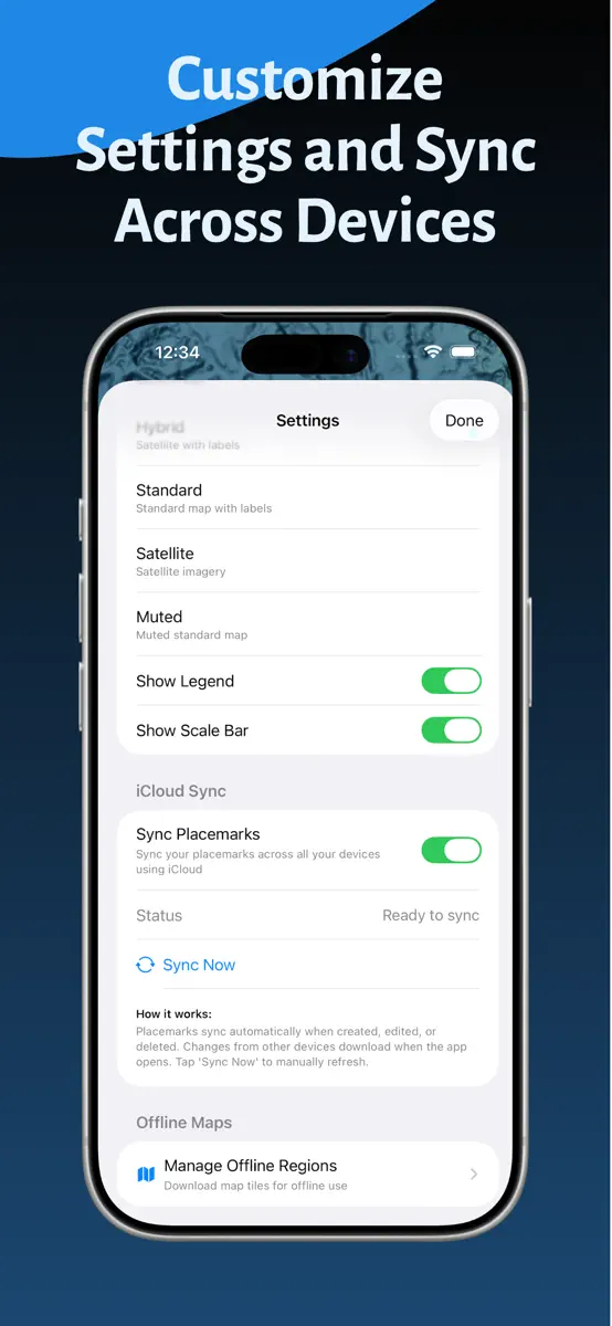
Hawaii Ocean Map brings professional-grade seafloor mapping to your iPhone and iPad. Explore the depths around the Hawaiian Islands with NOAA's high-resolution bathymetry data—all available offline, with no subscription required. PROFESSIONAL DEPTH DATA Access detailed ocean floor topography derived from NOAA's Continuously Updated Digital Elevation Model (CUDEM) at approximately 3-meter resolution. Find underwater features including reefs, ledges, channels, and drop-offs with…
Competitors
Full chartTop of Paid · Navigation in United States. Hawaii Ocean Map is #47 there. Changes are over 7 days.
- #1 (number one)Change unknown
 MilGPSCascode Labs Pty Ltd
 - #2Change unknown
 Solocator - GPS Field CameraCivi Corp
 - #3Change unknown
- #4Change unknown
 Land Nav AssistantGammon Applications, LLC
 - #5Change unknown
 Sporty's E6B Flight ComputerSporty's Pilot Shop
 - #6Change unknown
 Blitzer.de PROEifrig Media
 - #7Change unknown
 Tacho 55 Pro. GPS-Kit.Stanislav Dvoychenko
 - #8Change unknown
 TheodoliteCraig Hunter
 - #9Change unknown
 Find93Paul Kragthorpe
 - #10Change unknown
 LeadNav GPSLeadNav Systems LLC
 - #11Change unknown
 TACNAV-X: Military NavigationTacNav Systems LLC
 - #12Change unknown
 Holding Pattern TrainerFLEMINGER MEDIA LLC
 - #13Change unknown
 Range Finder ToolNatalia Gavrylova
 - #14Change unknown
 iLocation+: Hier!Jeonghwan Kim
 - #15Change unknown
 aprs.fiGainIO
 - #16Change unknown
 Exit Strategy NYC Subway MapJWeg Ventures LLC
 - #17Change unknown
 ETA - Arrive on timeEastwood
 - #18Change unknown
 C&O Canal ExplorerC&O Canal Trust
 - #19Change unknown
 Pro Altimeter - Barometric+GPSCraig Hunter
 - #20Change unknown
 MapOutValnova

Store listing
How the app presents itself on the App Store. Select a screenshot to open it full size.
What's new
Version 1.8.1 · 2 Sep 2026 · 1 month ago
SAVE IMPORTED WAYPOINTS AS PLACEMARKS Tap any waypoint from an imported KML, KMZ, or GPX layer and save it as a placemark of your own - depth filled in automatically, ready to favorite, rename, or navigate to. UPDATED FAD STATUSES Refreshed from the Hawaii Institute of Marine Biology (September 2026). Six FADs are back in service - Oahu S (Pokai Bay) and HH (Ewa), and Kauai Z, CK, EK, and WK - while Big Island A (Ka Lae) is newly missing.
Current rankings
Every chart this app is in right now, best position first.
| Chart | Rank | 24 h | 7 days | Best | Days on chart |
|---|---|---|---|---|---|
| United States· Paid · Navigation | #47 | Change unknown | Change unknown | #31 | 2 |
Rank history
Higher on the chart is better: #1 is at the top.
Sign in to see 30 days, 90 days and all history.
United States · Paid · Navigation: best #31, latest #47, over 2 snapshots since 8 Oct. No snapshots from 8 Oct to 9 Oct; the line joins the snapshots on either side.
Ranking events
Entries, big moves, #1s and new versions we've recorded.
No events recorded yet
Events appear as the app enters charts, moves 25+ places or ships a new version.