

Current rank
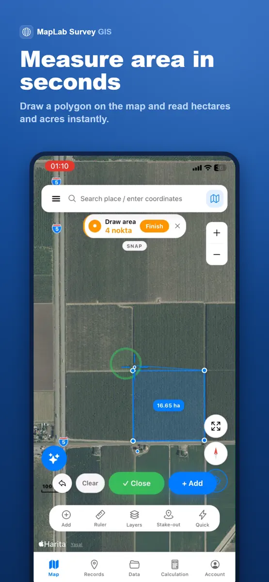
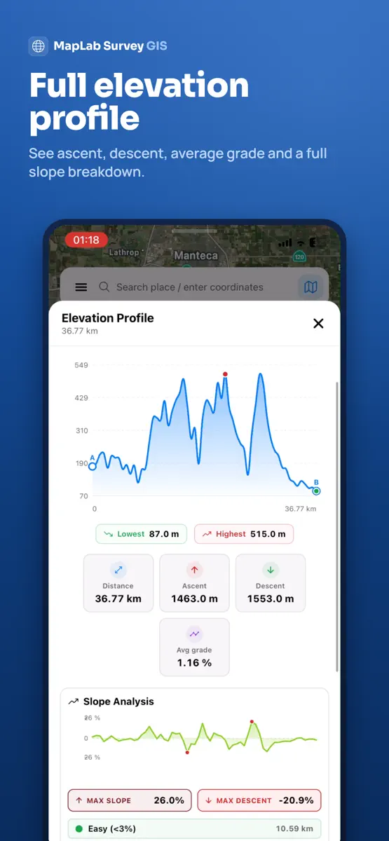
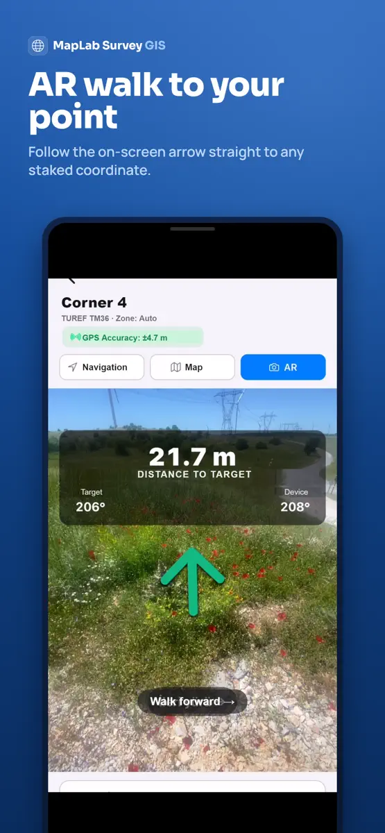
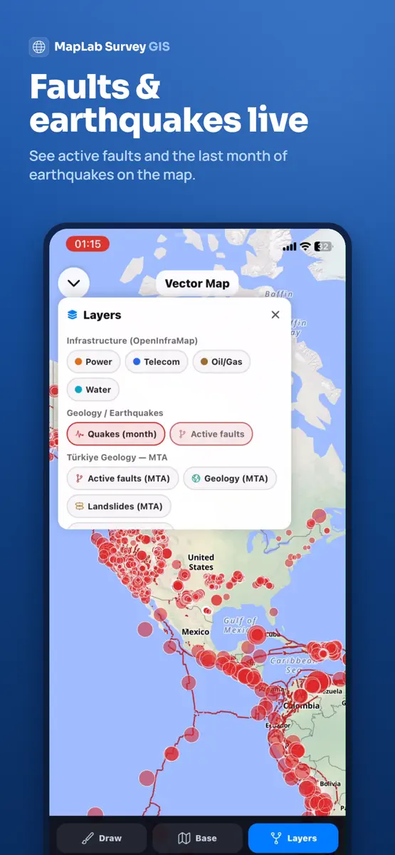
MapLab Survey is a field GIS and land surveying app: draw, measure, open CAD files, convert coordinates and export to DXF — online or offline. WORKS IN YOUR COUNTRY, OUT OF THE BOX The app opens with your country's own national coordinate system and language. 148 countries, 46 languages. Move to another zone and the correct zone of the same system follows you — no manual setup. DRAW & MEASURE WITH GPS • Points, lines and polygons • Area, perimeter, distance, coordinates, slope and volume •…
Competitors
Full chartTop of Grossing · Navigation in Brazil. MapLab Survey - Topografia is #98 there. Changes are over 7 days.
- #1 (number one)No change
 Radarbot: Speed Camera GPS AppIteration Mobile S.L
- #2No change
 Spoke Route PlannerCircuit Routing
- #3No change
 Moovit: Bus & Transit TrackerMoovit App Global LTD
- #4Up 2 places
 MapXplorer: GPS Maps & RadarGoldlab Applications Yazilim Bilişim Anonim Şirketi
- #5Down 1 place
 Navionics® BoatingGarmin
- #6Down 1 place
 Wikiloc - Trails of the WorldWikiloc Outdoor SL
- #7No change
 Avenza Maps: Offline MappingAvenza Systems Inc.
- #8No change
 Car Play Connect: Auto SyncVALERY STAKARSKI
- #9No change
- #10Up 1 place
 Localisation Mes Amis & GpsRU ART AND DESIGN LLC
- #11Up 3 places
 衛星地図 - 衛星写真・3Dマップ・ストリートビューAnkagis
- #12Up 1 place
 Famio: Find My Family, FriendsGismart Limited
- #13Up 11 places
 GPS Speedometer HUD: SpeedAceChangsha Liangchao Technology Co., Ltd.
- #14Down 2 places
 Tractor GPS - Field GuidanceOran Dynamics Ltd
- #15Change unknown
- #16Up 6 places
 スピードメーター GPS: SpeedometerDuyou Technology Co., Limited
- #17Up 39 places
 Sygic: Sat Nav - Live GPS MapsSygic a. s.
- #18Up 9 places
- #19Down 1 place
 Cittamobi: Ônibus e TrilhosCittamobi Desenvolvimento em Tecnologia Ltda
- #20Up 39 places
 WAC Bras - Navegação AéreaPROTOHM TECH LTDA


Store listing
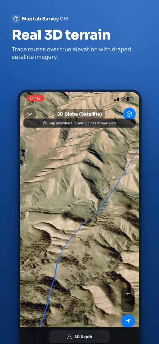
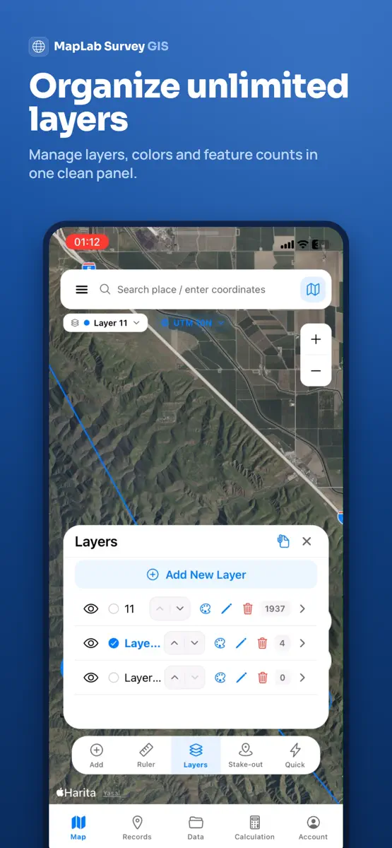
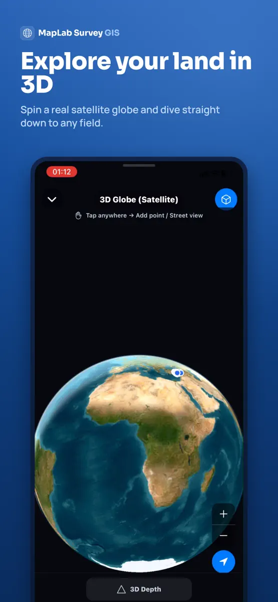
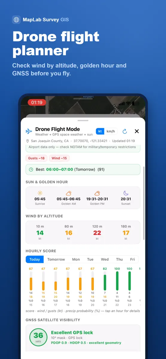
How the app presents itself on the App Store. Select a screenshot to open it full size.


What's new
Version 3.0.0 · 18 Aug 2026 · 2 months ago
This is the biggest update the app has ever had. NEW: CAD VIEWER • Open DXF, Netcad NCZ, KML/KMZ, GeoJSON, shapefile-ZIP and LandXML on a clean canvas • Real layer names, Netcad colours, hatches and text labels • Snap to endpoint, midpoint and edge; azimuth, scale and crosshair measurement • Draw on top, then send only what you want to the map NEW: SCANNED PLANS & MAP SHEETS • Place JPG, PNG and PDF sheets on the map • Automatic georeferencing from world-file (.jgw/.pgw/.tfw) and .prj • GeoPDF: coordinates inside the PDF are read, no manual placement • Control-point placement with outlier detection • Cropping, drag-to-align and rotation correction for skewed scans NEW: TOTAL STATION, GNSS/RTK & LEVELLING • Read Leica GSI, Carlson RW5, Sokkia SDR33, Nikon RAW and LandXML • External GNSS/RTK receivers, NTRIP, site calibration and NMEA logging • Stake-out now uses the fix from your external receiver • Levelling: misclosure, tolerance check and adjustment YOUR OWN COUNTRY'S COORDINATE SYSTEM • The app now opens with your country's national system — 148 countries • Coordinates shown in the system you picked: map, attributes and photo stamps • Move to another zone and the correct zone of the same system follows you • Search coordinate systems by country name; country picker added to the panel • You are warned when the system you picked does not cover where you are MORE • Import MBTiles tile packages — bring your own basemap • UTM/MGRS grid on the map • GPX import and export • Up to 4 photos per feature • Rapid mode now works for lines and areas too • Organise layers into folders and nested groups • Branded field reports: company name, logo, signature block and QR code • Offline maps: download, list and delete • Landscape and tablet support • Field forms and the whole interface in 46 languages FIXES • Map freezing resolved • Switching files in the CAD viewer no longer throws you back to the map • Drawings now ask for confirmation before being discarded • Stake-out distance was not updating — fixed • Many bug fixes and performance improvements
Current rankings
Every chart this app is in right now, best position first.
| Chart | Rank | 24 h | 7 days | Best | Days on chart |
|---|---|---|---|---|---|
| Brazil· Grossing · Navigation · best #98 · 1 day | #98 | New entry | Change unknown | #98 | 1 |
Rank history
Higher on the chart is better: #1 is at the top.
Sign in to see 30 days, 90 days and all history.
Not enough history yet
The chart fills in as new snapshots arrive (once a day).
Ranking events
Entries, big moves, #1s and new versions we've recorded.
- Entered the Grossing · Navigation chart at #98Brazil
- Entered the Grossing · Navigation chart at #49India