

Current rank
- Was
- Not charting24 hours ago
- Change
- New entry
- Best
- #100in 24 hours
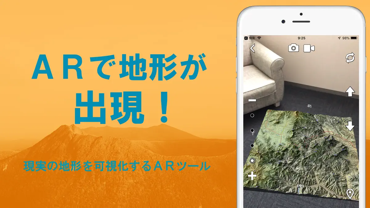
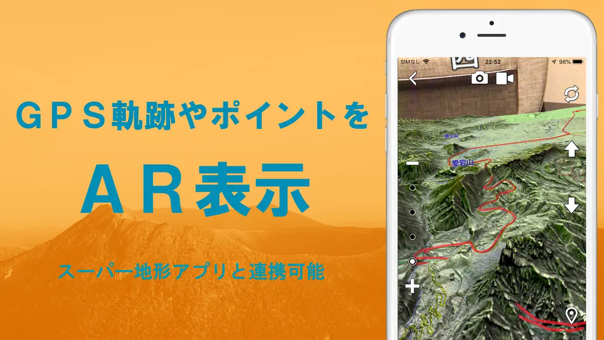
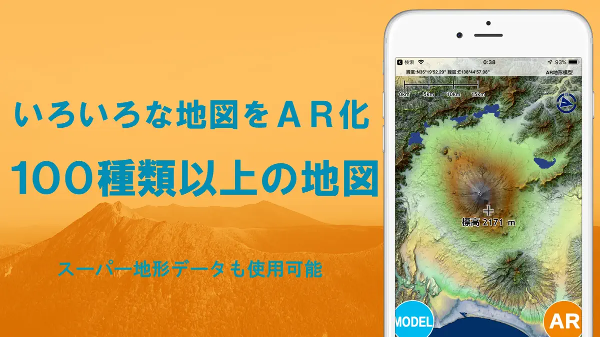
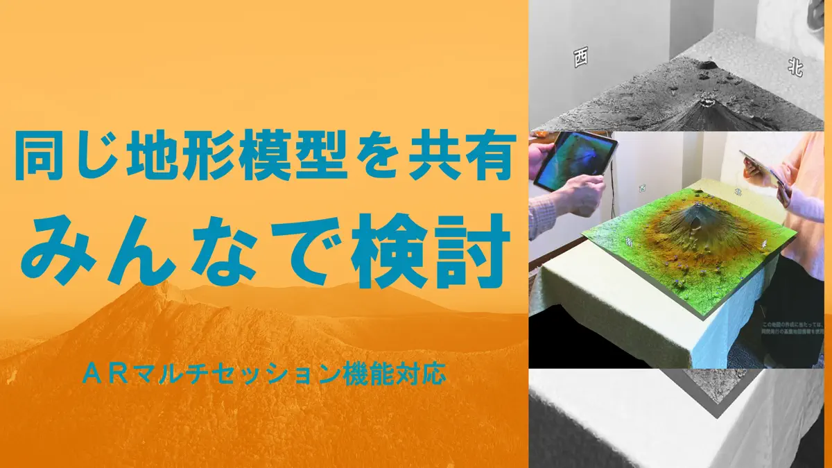
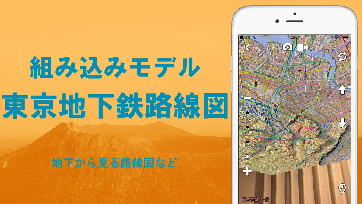
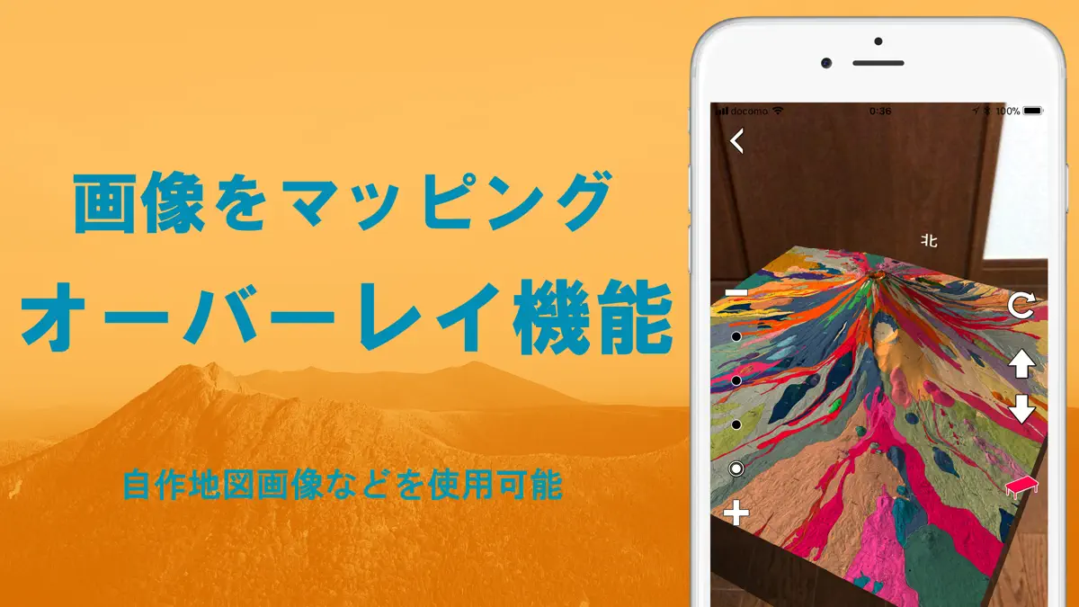
AR機能でいろいろな地図を3D地形模型として見れます。旧名:AR立体地図、地図カメラAR ●スーパー地形データが使えます。 ●国土地理院のほとんどの地図を網羅しているほか、各種の地図が使用できます。 ●AR機能を搭載。高精細地形データで地形を再現し、すべての地図を3D表示。目の前に立体地図を表示し、自由に眺められます。 ●複数のスマホで、同じ地形とモデルを見ることができます。あたかも実際に机の上に地形模型が置かれているものを、みんなで見ている感じになります。 ●『東京地下鉄全路線図』のほか、GPSのトラックデータやポイントを模型の上に表示できます。 ●GPS機能で現在位置を表示可能です。 ●静止画と動画の撮影機能を搭載。 ●ピープルオクルージョンが可能。iOS13以降でA12以降のチップ搭載機種。 ●建物も表示できます。 ●iOS14ウィジットに対応しています。 ◆◆◆ 不具合等については、サポートページを開き、下の方のお問い合わせボタンより、ご連絡ください。 ◆◆◆ iPad/iPodのWiFiモデルなど一部の機種ではGPSを搭載していないため、正確な位置情報の取得ができません。…
Competitors
Full chartTop of Grossing · Navigation in Japan. AR地形模型 is #100 there. Changes are over 7 days.
- #1 (number one)No change
 NAVITIME(地図と乗換の総合ナビ)NAVITIME JAPAN CO.,LTD.
 - #2No change
 トラックカーナビ by NAVITIME ナビタイムNAVITIME JAPAN CO.,LTD.
 - #3No change
 カーナビタイム - CarPlay対応カーナビNAVITIME JAPAN CO.,LTD.
 - #4No change
 乗換NAVITIME(電車乗り換え・バス乗り換え・時刻表)NAVITIME JAPAN CO.,LTD.
 - #5Up 1 place
 ツーリングサポーター 原付バイク〜大型バイクまで使えるナビNAVITIME JAPAN CO.,LTD.
 - #6Down 1 place
 ドライブサポーター by NAVITIME (カーナビ)NAVITIME JAPAN CO.,LTD.
 - #7No change
 Yahoo!カーナビYahoo Japan Corporation
 - #8No change
 ゼンリン地図ナビ 住宅地図/カーナビ/地図アプリ/トラックZENRIN DataCom CO.,LTD.
 - #9No change
 バスNAVITIME 時刻表&乗り換え案内&路線図ナビNAVITIME JAPAN CO.,LTD.
 - #10No change
 配達NAVITIME ゼンリン住宅地図/荷物管理/カーナビNAVITIME JAPAN CO.,LTD.
 - #11Up 1 place
 Japan Transit Planner - TravelJorudan Co.,Ltd.
 - #12Up 1 place
 Yahoo!乗換案内Yahoo Japan Corporation
 - #13Down 2 places
 渋滞情報マップbyNAVITIME 渋滞・通行止め・高速料金NAVITIME JAPAN CO.,LTD.
 - #14No change
 自転車NAVITIME-サイクリングナビと速度計測・マップNAVITIME JAPAN CO.,LTD.
 - #15Up 1 place
 new pec smart株式会社マップル・オン
 - #16Up 1 place
 バスカーナビ by ナビタイム - 大型バスの交通規制を考慮NAVITIME JAPAN CO.,LTD.
 - #17Down 2 places
 ATIS交通情報(アティス)~リアルタイム渋滞情報Nihon Enterprise Co.,Ltd.
 - #18Up 5 places
 Car Play Connect: Auto SyncVALERY STAKARSKI
 - #19Up 1 place
 オービスガイド - 移動式オービス・ネズミ捕り対応Pasoya Co.,Ltd.
 - #20Down 1 place
 auカーナビ Powered by NAVITIMEKDDI CORPORATION
Store listing
How the app presents itself on the App Store. Select a screenshot to open it full size.
What's new
Version 2.9.0 · 17 May 2025 · 1 year ago
・「スーパー地形データ」に1mメッシュから生成したデータを追加しました 拡大していくと従来よりも詳細な地形が見れます。 なお、現時点で1mメッシュの全国カーバー率は46%で今後、拡充の予定です。 ・AR表示でも1mメッシュの地形に対応しました。 画面左側の+と-の間のドットの一番下をタップすると、1mメッシュ対応の地形になります。 1mメッシュがない場所は5mまたは10mメッシュから生成した地形になります。 ・細かい不具合の修正をしました。
Current rankings
Every chart this app is in right now, best position first.
| Chart | Rank | 24 h | 7 days | Best | Days on chart |
|---|---|---|---|---|---|
| Japan· Grossing · Navigation · best #100 · 1 day | #100 | New entry | Change unknown | #100 | 1 |
Rank history
Higher on the chart is better: #1 is at the top.
Sign in to see 30 days, 90 days and all history.
Japan · Grossing · Navigation: best #100, latest #100, over 2 snapshots since 17 Oct. No snapshots on 17 Oct; the line joins the snapshots on either side.
Ranking events
Entries, big moves, #1s and new versions we've recorded.
- Entered the Grossing · Navigation chart at #100Japan
More from Tomohiko Sugimoto
Their other apps that Appulse has seen in the charts, charting ones first.
| App | Best rank now | Released | App Store |
|---|---|---|---|
 スーパー地形Navigation · | Grossing · NavigationJapan#32 |