

BhuvanTRACE
nrsc
Getting the latest details from the App Store…
nrsc
Getting the latest details from the App Store…

How the app presents itself on the App Store. Select a screenshot to open it full size.


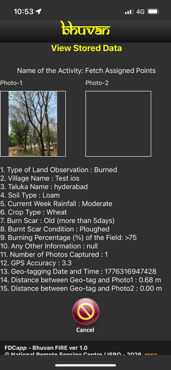
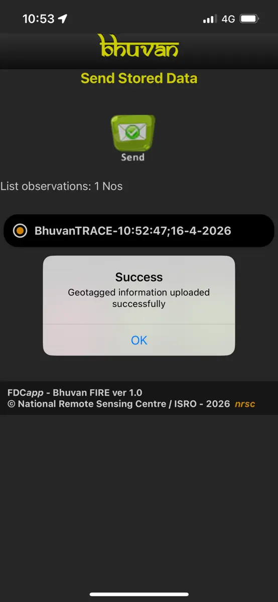
Version 1.4 · 7 Oct 2026 · 11 days ago
Updated the geofence radius to 100m and made UI improvements to provide a more user-friendly alert experience.
Every chart this app is in right now, best position first.
| Chart | Rank | 24 h | 7 days | Best | Days on chart |
|---|---|---|---|---|---|
Higher on the chart is better: #1 is at the top.
BhuvanTRACE is a powerful app for field professionals, environmental agencies, and researchers to monitor and document burnt areas and active fires. Capture geotagged photos, log affected areas, and map active fire sites in real-time. Designed for use even in remote locations with offline functionality, it provides an intuitive interface for seamless data collection and contributes valuable information to support fire management and research efforts.
Top of Free · Navigation in India. BhuvanTRACE is #65 there. Changes are over 7 days.


| #65 |
| New entry |
| Change unknown |
| #65 |
| 1 |
Sign in to see 30 days, 90 days and all history.
India · Free · Navigation: best #65, latest #65, over 17 snapshots since 11 Oct. No snapshots on 12 Oct, on 13 Oct, on 14 Oct, on 16 Oct, on 17 Oct, and on 18 Oct; the line joins the snapshots on either side.
Entries, big moves, #1s and new versions we've recorded.