

Current rank
- Was
- Not charting24 hours ago
- Change
- New entry
- Best
- #95in 24 hours
Geben Sie sich nicht länger mit „gut genug“ zufrieden. Dot3D ist die branchenführende mobile LiDAR-Lösung für Profis, die Wert auf verifizierbare Genauigkeit, Zuverlässigkeit bei großen Projekten und absoluten Datenschutz legen – ohne die Artefakte, die andere 3D-Apps produzieren. Von komplexen Baustellen bis hin zu sensiblen Tatorten verwandelt Dot3D Ihr iPad oder iPhone in einen professionellen 3D-Laserscanner. IMMOBILIEN, AEC & BIM: Erfassen Sie präzise Bestandsaufnahmen (As-Builts) von…
Competitors
Full chartTop of Grossing · Photo & Video in Germany. Dot3D - LiDAR 3D Scanning is #95 there. Changes are over 7 days.
- #1 (number one)No change
 YouTubeGoogle
- #2No change
 SnapchatSnap, Inc.
- #3No change
 InstagramInstagram, Inc.
- #4No change
 CapCut: Photo & Video EditorBytedance Pte. Ltd
- #5No change
 FaceApp: Perfect Face EditorFaceApp Technology Limited
- #6No change
 Twitch: Live StreamingTwitch Interactive, Inc.
- #7No change
- #8No change
- #9No change
 Facetune: Photo & Video EditorLightricks Ltd.
- #10No change
 Lightroom: AI Photo EditorAdobe Inc.
- #11No change
 Picsart AI Photo Editor, VideoPicsArt, Inc.
- #12No change
 Runway: AI Image & Videorunwayml
- #13No change
 SCRL: Photo Collage MakerSCRL AB
- #14Up 1 place
 Captions: AI Edits Your VideoCaptions, LLC (US)
- #15Up 6 places
 Amazon Photos: Photo & VideoAMZN Mobile LLC
- #16Up 3 places
 PicCollage: Magic Photo EditorCardinal Blue
- #17Up 3 places
 Remini - AI Photo EnhancerBending Spoons Apps ApS
- #18No change
 Splice - Video Editor & MakerBending Spoons Apps ApS
- #19Down 3 places
 GoPro QuikGoPro, Inc.
- #20Up 4 places
 YouCam Perfect:AI Photo EditorPERFECT MOBILE CORP.


Store listing
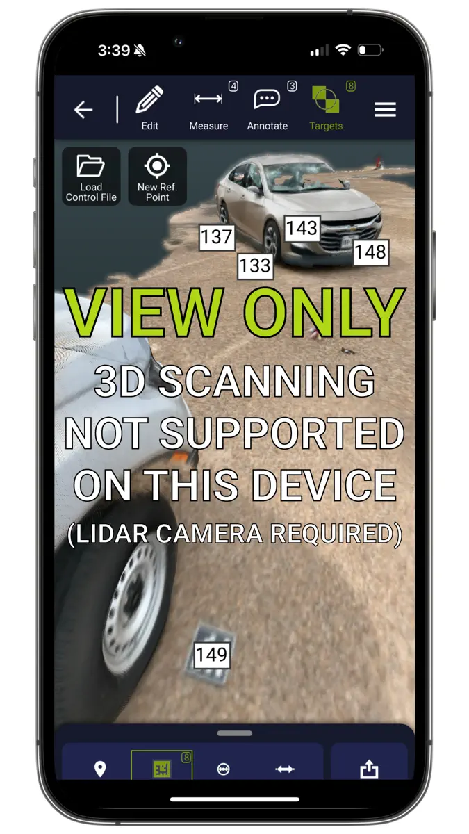
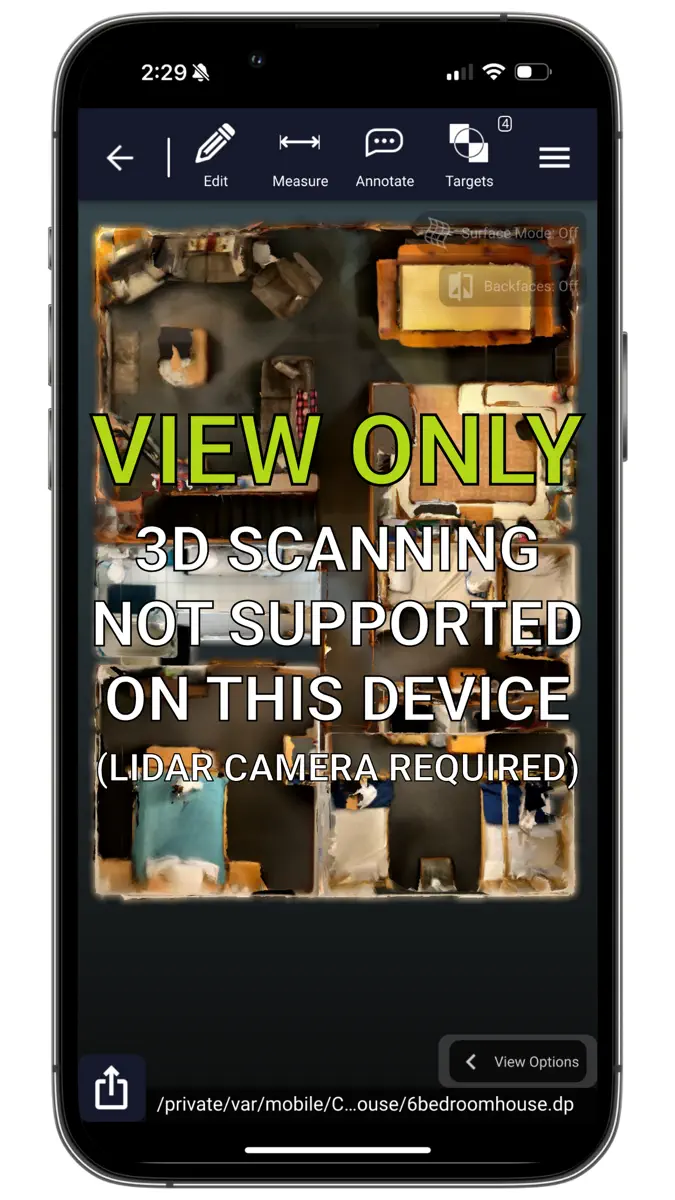
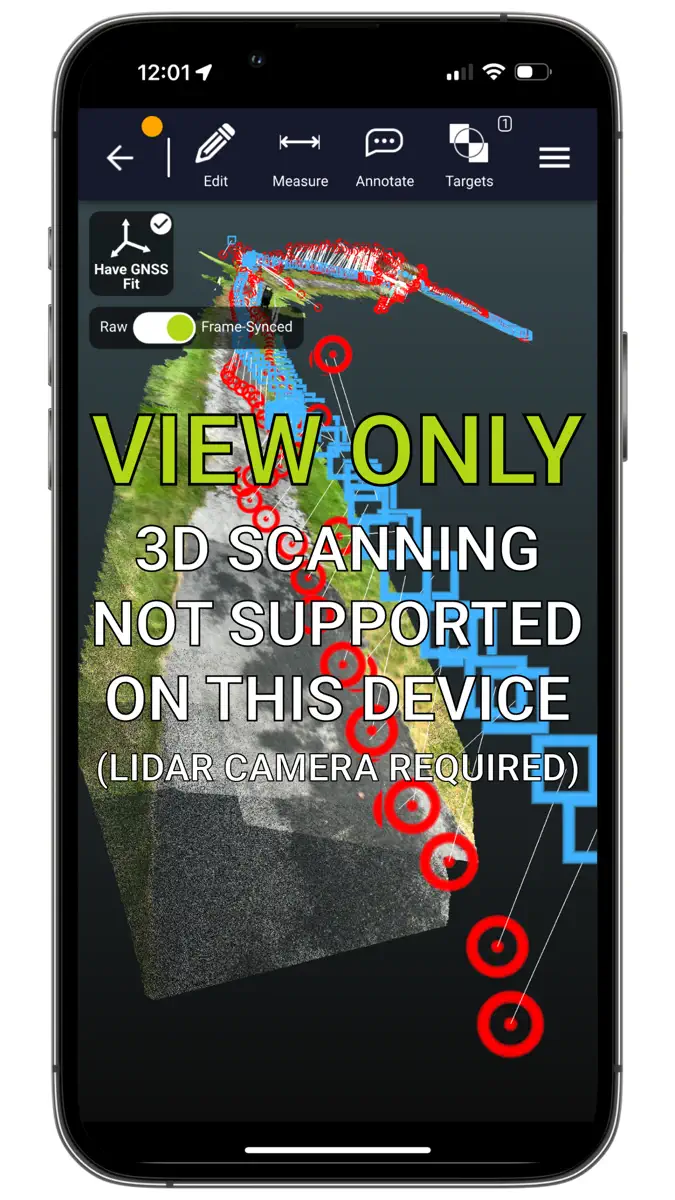
How the app presents itself on the App Store. Select a screenshot to open it full size.


What's new
Version 6.5.0 · 10 Oct 2026 · 9 days ago
• HEIGHT AND GEOID MODEL SUPPORT — Export georeferenced scan data with full height and local geoid model support. • GEOTIFF ORTHOPHOTO EXPORTS WITH SURVEY CONTROL — Generate georeferencing for GeoTIFF orthophotos from georeferenced control targets. • NEW MEDIATASK PARTNER PLUGIN — Seamlessly manage and attach multimedia context and field notes directly within your capture workflows. • STREAMLINED SIGNUP FLOW — Upgraded user onboarding experience for faster account setup and licensing. • ENHANCED GNSS & NTRIP PRECISION — Resolved trajectory fitting edge cases, guaranteed 1:1 trajectory preservation across project reloads, retained full coordinate precision in AprilTag exports, and upgraded NTRIP data formatting for maximum server compatibility. • HARDWARE & IMAGE CAPTURE FIXES — Restored full compatibility for M5 iPad models and RobotDot Touch support, while resolving frame synchronization issues during simultaneous high-res photo capture. • Stability enhancements and bugfixes, including adjustments to fill-volume / pile-volume control points, automatic backfaces during cropping, and optimized RTK correction handling.
Current rankings
Every chart this app is in right now, best position first.
| Chart | Rank | 24 h | 7 days | Best | Days on chart |
|---|---|---|---|---|---|
| Germany· Grossing · Photo & Video · best #95 · 1 day | #95 | New entry | Change unknown | #95 | 1 |
Rank history
Higher on the chart is better: #1 is at the top.
Sign in to see 30 days, 90 days and all history.
Germany · Grossing · Photo & Video: best #95, latest #95, over 2 snapshots since 19 Oct.
Ranking events
Entries, big moves, #1s and new versions we've recorded.
- Entered the Grossing · Photo & Video chart at #95Germany