

POTAble: POTA Park Finder
Kaylee Jung
Getting the latest details from the App Store…
Kaylee Jung
Getting the latest details from the App Store…

How the app presents itself on the App Store. Select a screenshot to open it full size.
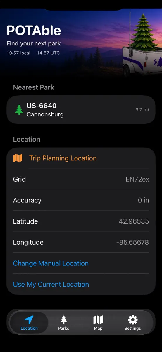
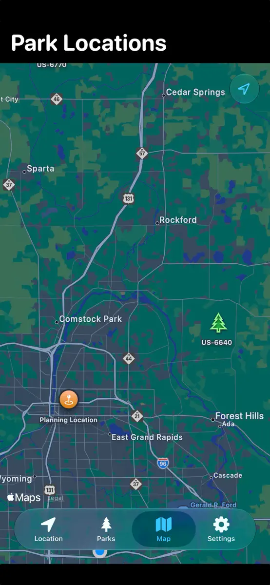
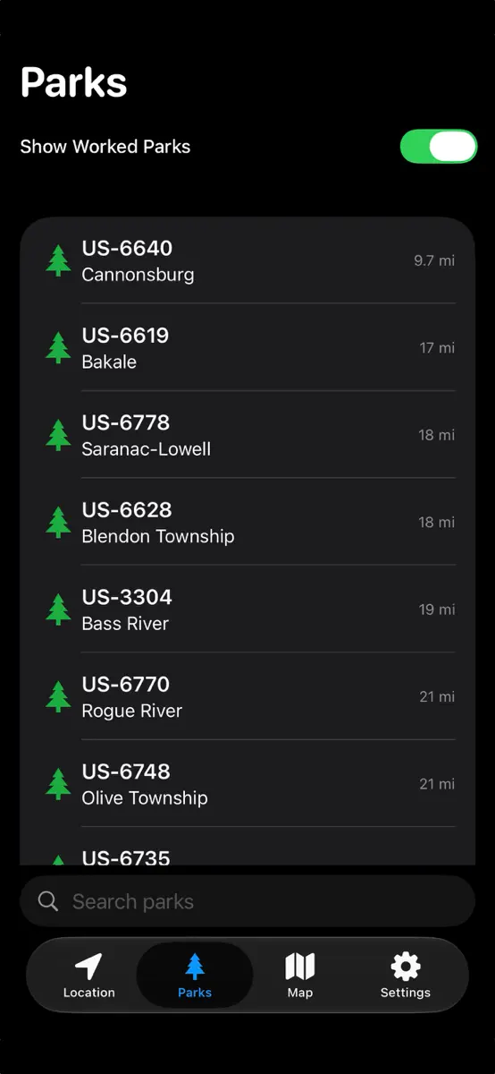

Version 1.0.1 · 15 Aug 2026 · 2 months ago
Added multi-date activation history, full official park names, Maidenhead grid squares, improved park-list layouts, and initial park-boundary support. Also includes map, navigation, and performance improvements. Also removed the takeover of the rest of the world by Michigan maps in the settings screen. :)
Every chart this app is in right now, best position first.
| Chart | Rank | 24 h | 7 days | Best | Days on chart |
|---|---|---|---|---|---|
Higher on the chart is better: #1 is at the top.
POTAble helps amateur radio operators find Parks on the Air locations nearby or along their next trip. Use your current location or choose one manually to explore nearby parks, compare distances, and plan future activations. Download park datasets for offline access when cellular service is unreliable. Features include: • Find and sort nearby POTA parks • Explore park locations on an interactive map • Download park data by state for offline use • View coordinates, Maidenhead grid square…
Top of Paid · Navigation in United States. POTAble: POTA Park Finder is #25 there. Changes are over 7 days.












| United States· Paid · Navigation · best #25 · 1 day |
| #25 |
| New entry |
| Change unknown |
| #25 |
| 1 |
Sign in to see 30 days, 90 days and all history.
United States · Paid · Navigation: best #25, latest #25, over 13 snapshots since 15 Oct.
Entries, big moves, #1s and new versions we've recorded.
